


The Dartmoor Way is a waymarked 108 mile (173km) circular route all around the edges of Dartmoor.
It’s a relatively new trail compared to some others, which travels footpaths, by-ways and bridlepaths, passing through many of the villages and towns along the way, meaning it’s easy to break it up into easy do-able chunks.
It’s estimated that the entire Dartmoor Way could be travelled in about ten days, booking accommodation for overnight stays along the route.
The route is split into 10 sections with a further 2 making up the High Moor Link.
The sections mostly start and finish in the towns and villages that are located around the route enabling accommodation, shop, and hostelries to be accessed. The sections are all a distance that offer a comfortable day’s walking.
More detailed information and downloadable section maps, see Explore Dartmoor – Walk the Dartmoor Way.
The Dartmoor Way project was conceived back in 1999 with the aim of creating both cycling and walking routes around Dartmoor. A Steering Group was formed that comprised of representatives from the Dartmoor National Park Authority, local businesses and members of the cycling and walking communities.
This resulted in the both the cycling and walking routes being set up by 2002. The cycling route was waymarked, but funding restrictions meant the walking route was map and description only. The route also only circled the Northern half of Dartmoor as it was felt at that time that this offered the best of Dartmoor scenically.
The route remained in this form through to 2010 when a few members of the original steering group made the decision to re-launch and revitalize the routes. It was decided as well to completely circle the Dartmoor and use the original route that crossed the centre of the Moor to be incorporated as a ‘High Moor Link’ enabling 2 smaller circles to be undertaken or a figure of eight.
We use cookies to improve your experience on our site. By using our site, you consent to cookies.
Manage your cookie preferences below:
Essential cookies enable basic functions and are necessary for the proper function of the website.
Google reCAPTCHA helps protect websites from spam and abuse by verifying user interactions through challenges.
Statistics cookies collect information anonymously. This information helps us understand how visitors use our website.
Google Analytics is a powerful tool that tracks and analyzes website traffic for informed marketing decisions.
Service URL: policies.google.com (opens in a new window)
Vimeo is a video hosting platform for high-quality content, ideal for creators and businesses to showcase their work.
Service URL: vimeo.com (opens in a new window)
SourceBuster is used by WooCommerce for order attribution based on user source.
You can find more information in our Cookie Policy and Privacy Statement.
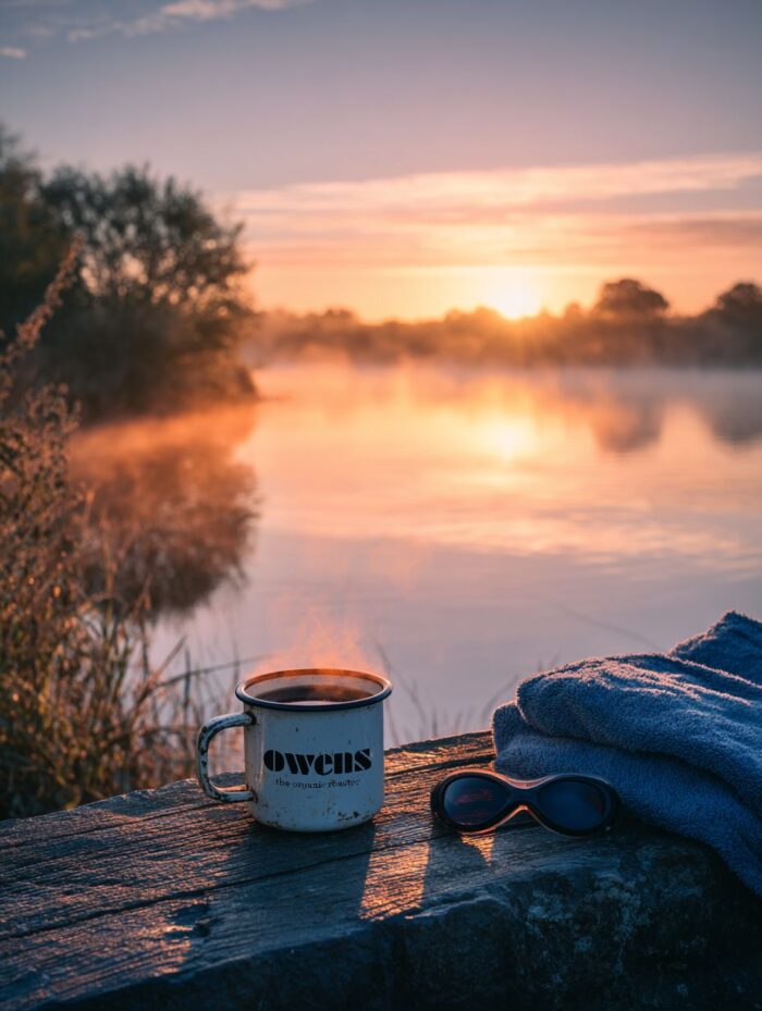
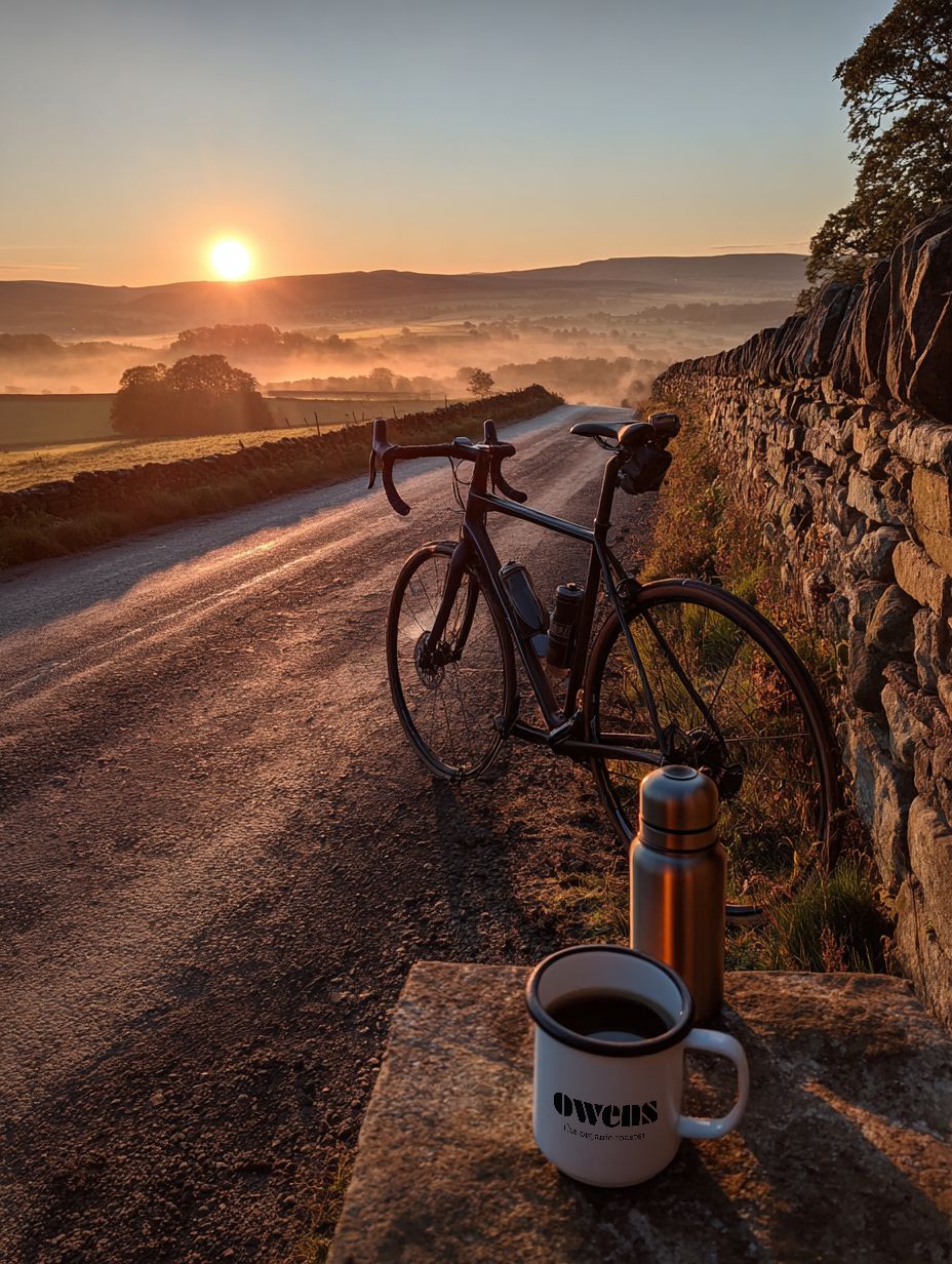
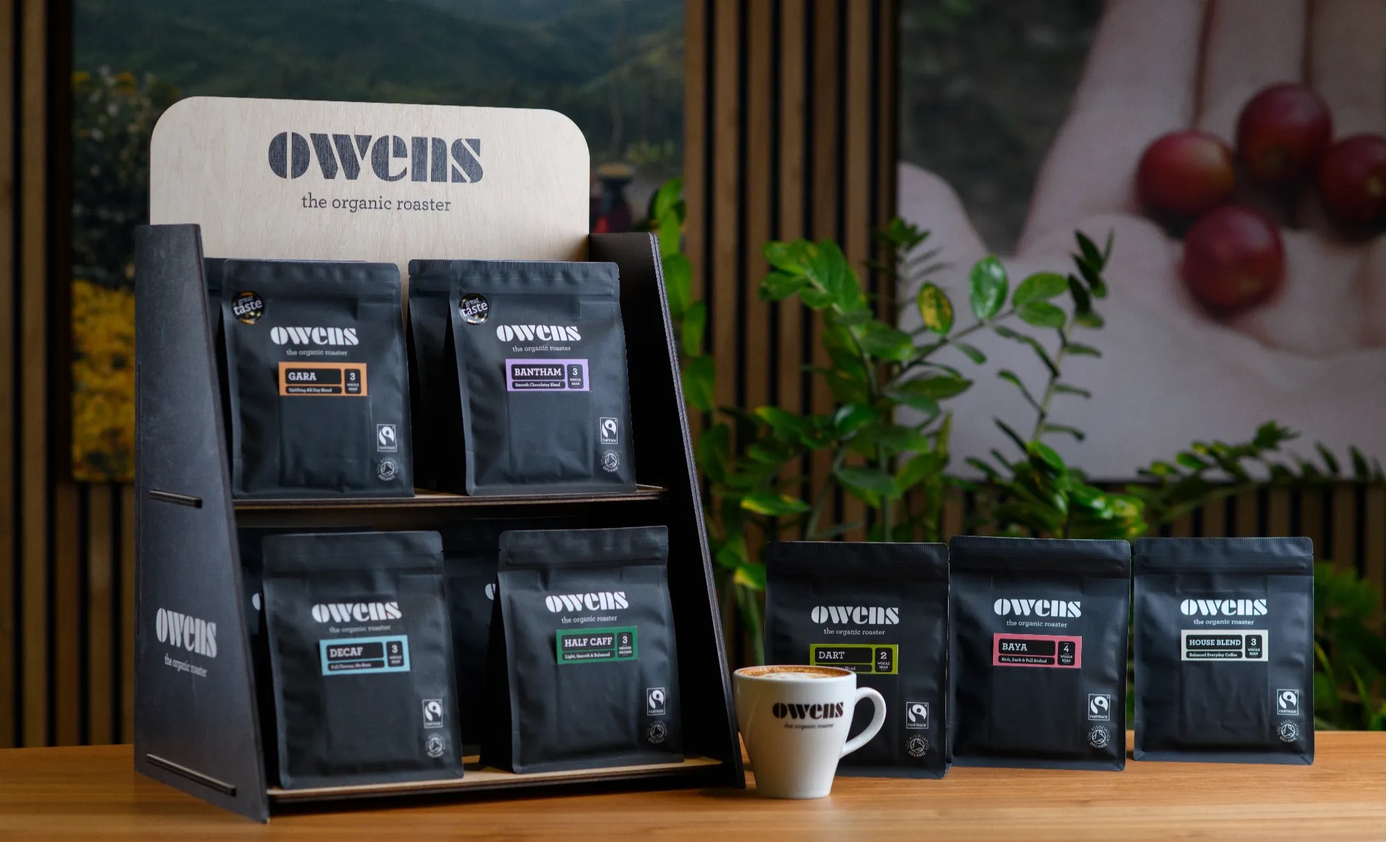
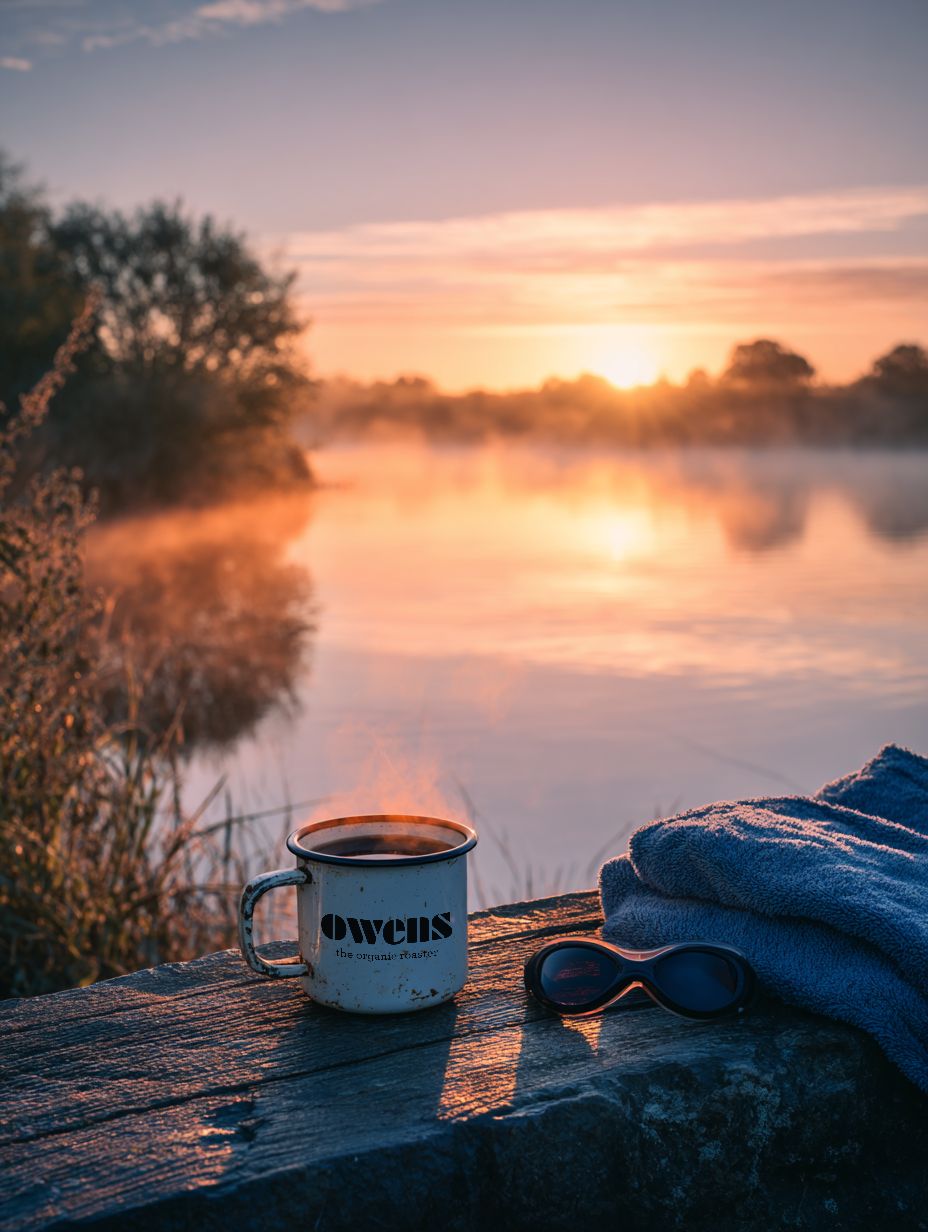
Nestled among the foothills of Dartmoor, Owens Organic Coffee has been roasting 100% organic and Fairtrade specialty coffee since 2010.
Framed by moor views but easily accessible from the A38 is their dedicated roastery and cafe, where you’ll find far more than a bag of beans – pull up a seat and enjoy a freshly roasted coffee before you head to the moor or celebrate bagging that Torr with a freshly brewed coffee, looking out over stunning landscapes.
Or for those who want to take their coffee knowledge to another level, Owens’ home barista masterclasses offer an intimate, hands-on journey from green bean to the perfect cup, guided by the expertise of their Head of Coffee.
You’ll also find Owens served at Princetown’s Plume of Feathers pub and many more cafes and pubs in between. So, whether you’re wild camping, Letterboxing or simply exploring the hidden gems of South Dartmoor, Owens will keep you energized and provides the perfect Dartmoor-crafted gift to take home and share with friends and loved ones.
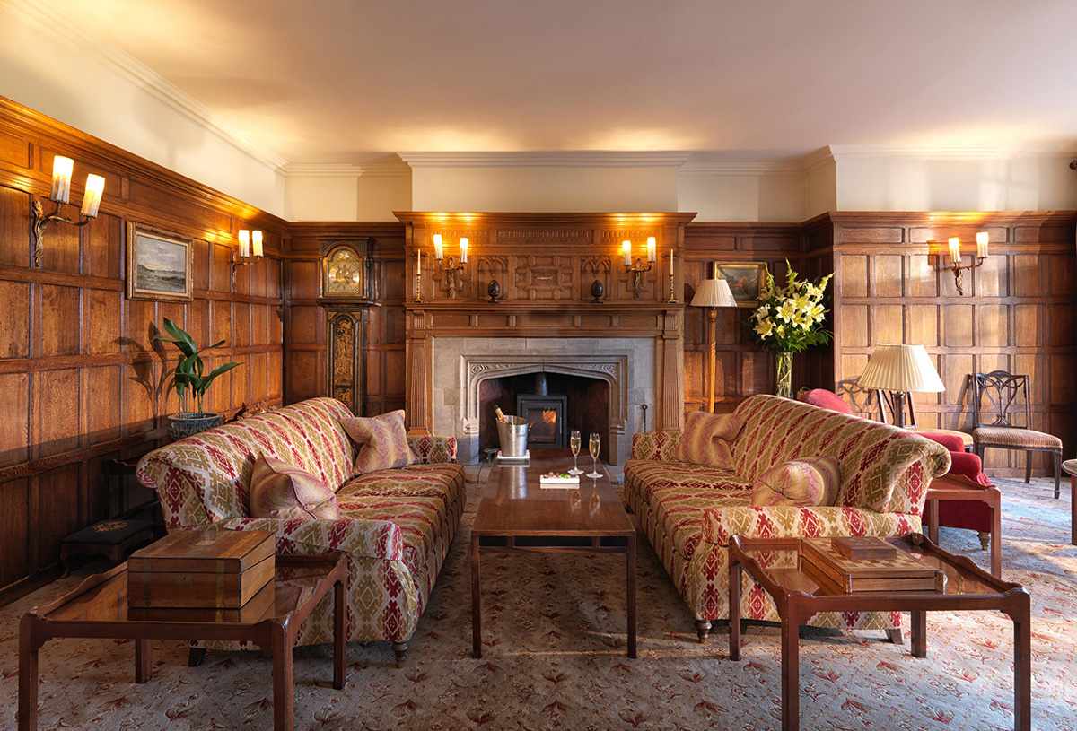
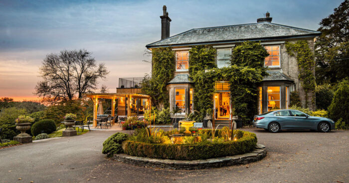
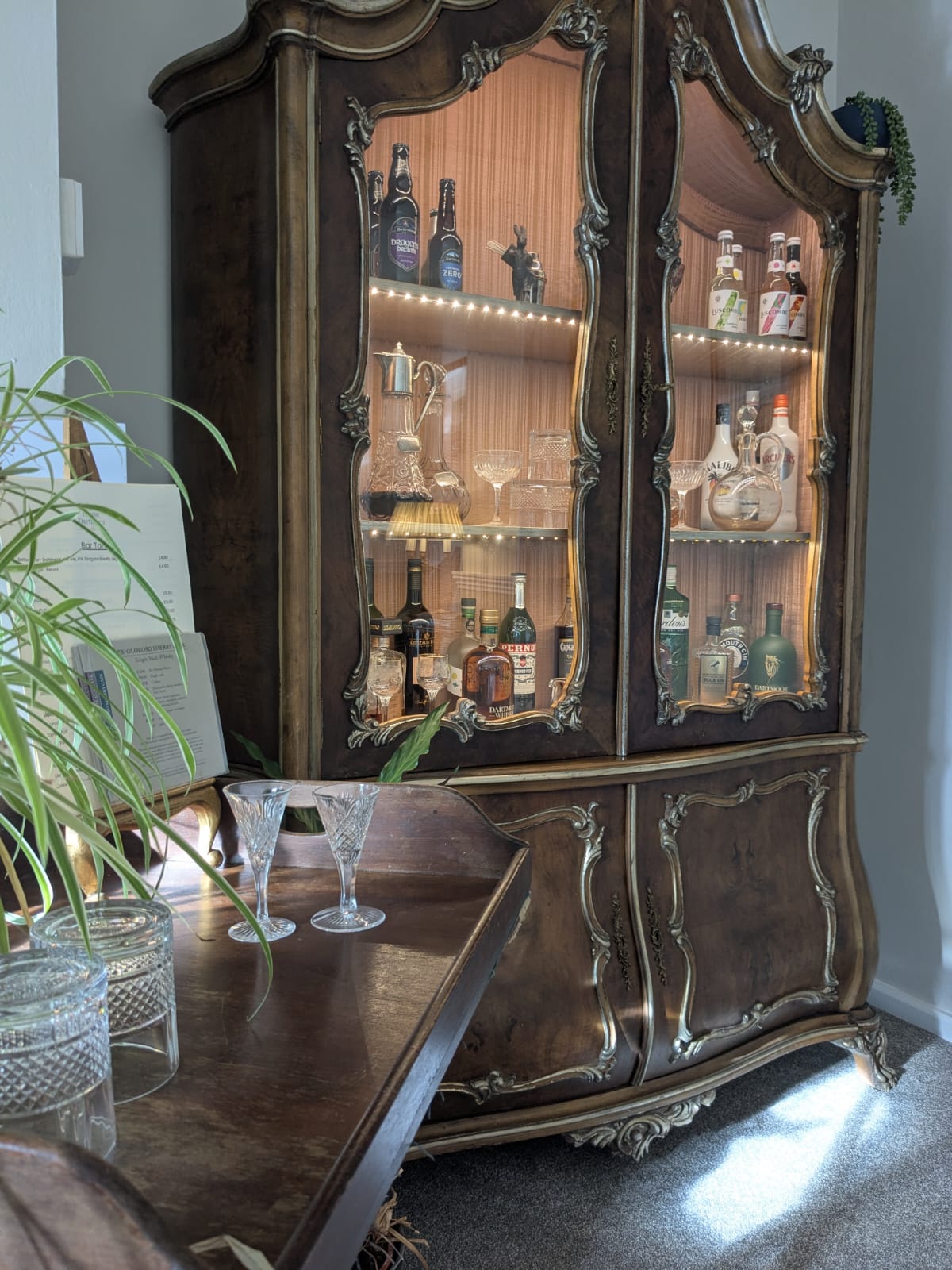
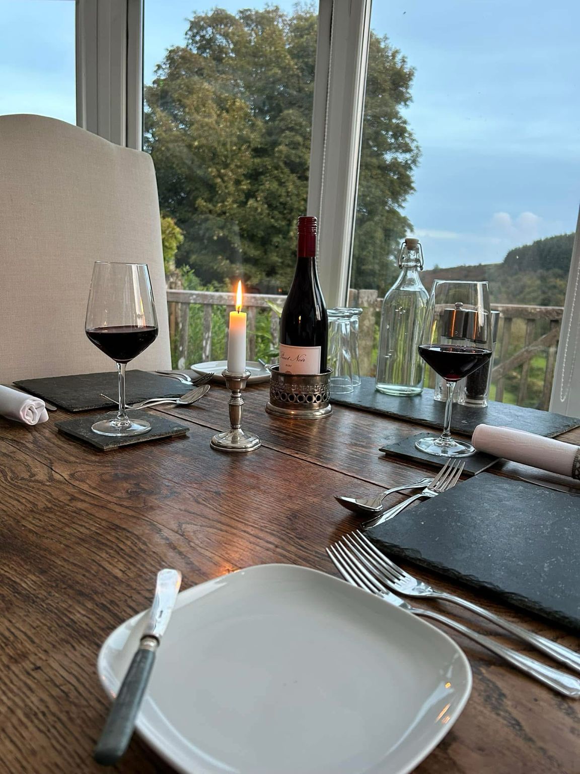
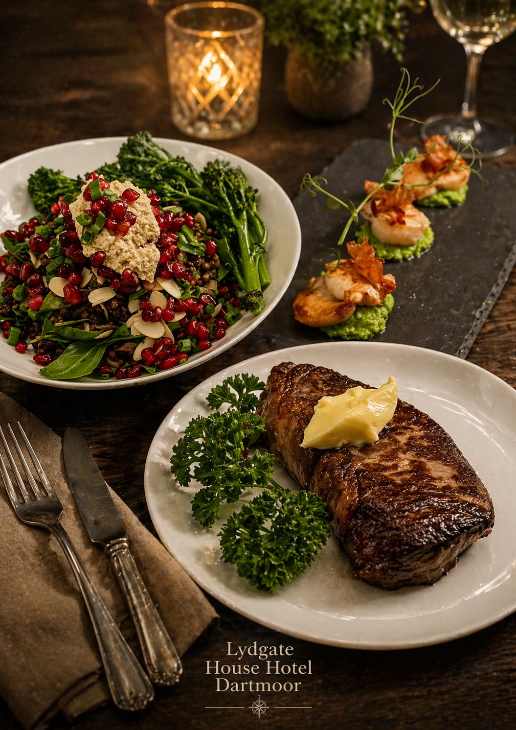
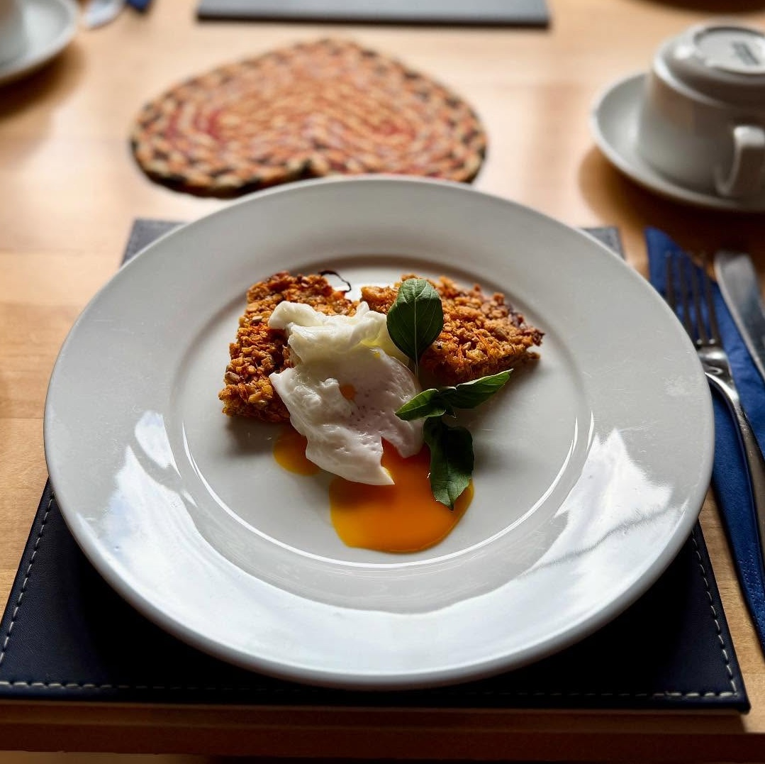
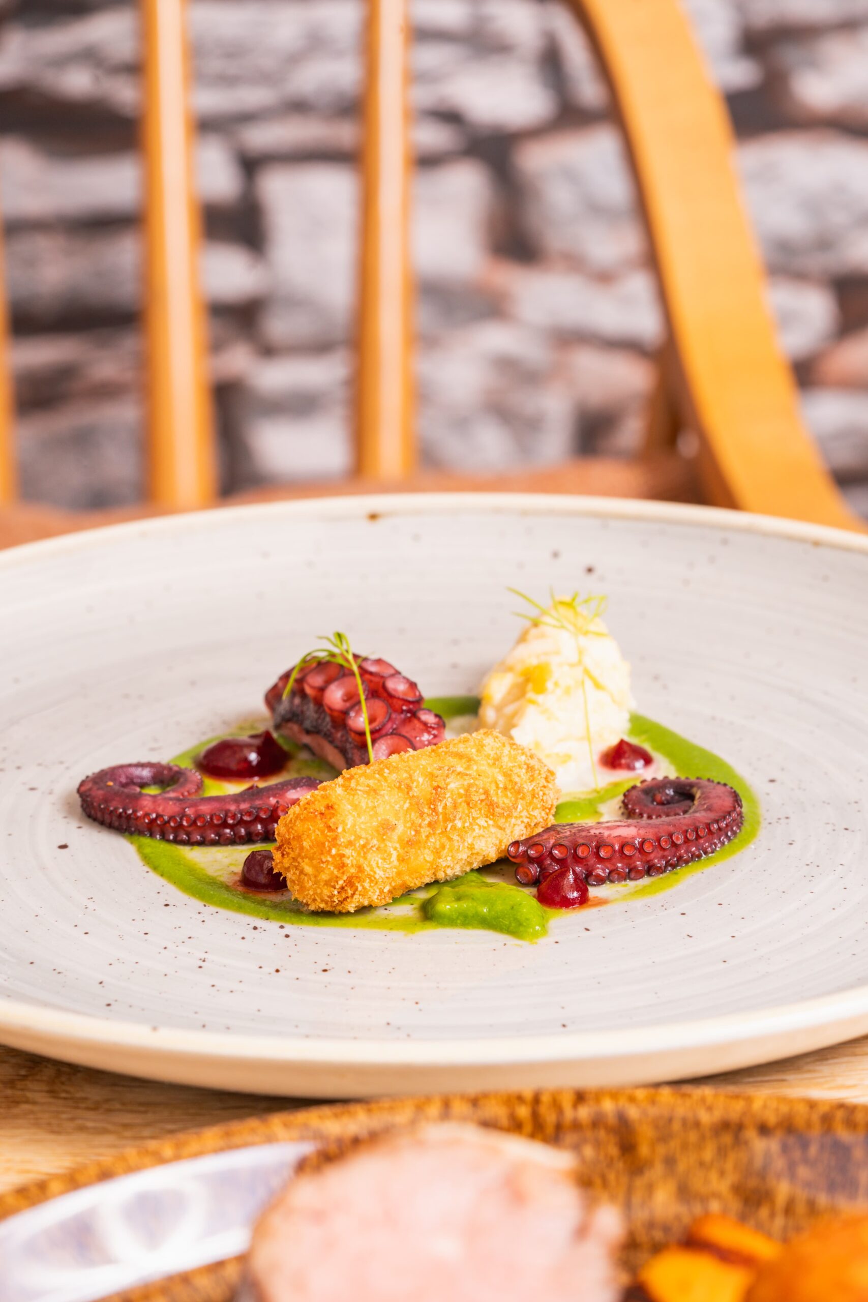
At Lydgate House Hotel, our award-winning guest experience is at the heart of everything we do, with elegant dining woven seamlessly into your stay, something to savour just as much as the beauty of the 36-acre valley that surrounds us. Here, exceptional ingredients, breathtaking surroundings, and a genuine passion for flavour come together with quiet confidence.
Our menus, created by owner and chef Sarah, celebrate the very best of Dartmoor and Devon. We work closely with trusted local suppliers to source high quality meats, including local venison, and the freshest fish, while many of our vegetables are grown here at Lydgate and picked straight from the garden. This close connection to the land brings a natural freshness and depth of flavour to every dish, ensuring each plate is seasonal, vibrant, and full of character.
Each evening is enjoyed in a relaxed yet refined setting overlooking the peaceful valley. Our elegant 2 or 3 course dinners are thoughtfully prepared, balancing comfort with finesse, from beautifully crafted seasonal dishes to indulgent homemade desserts, all created with care and attention to detail.
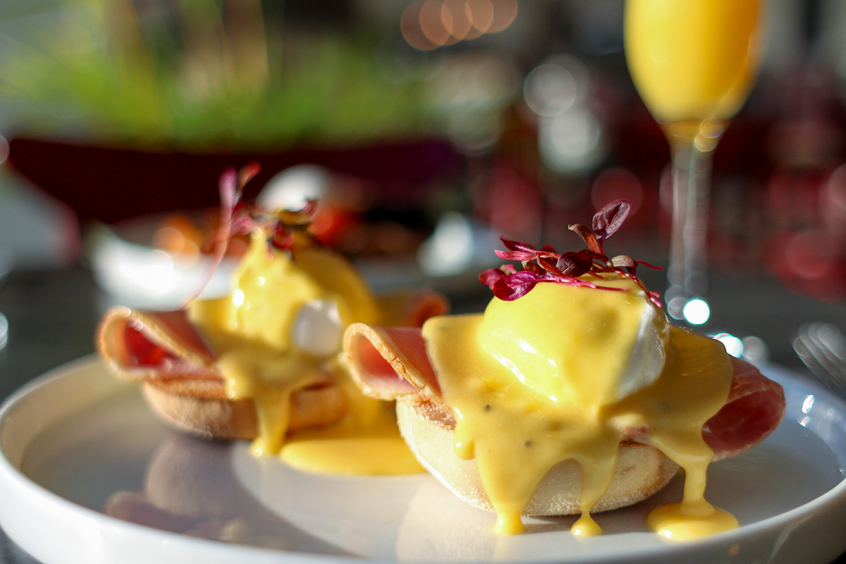
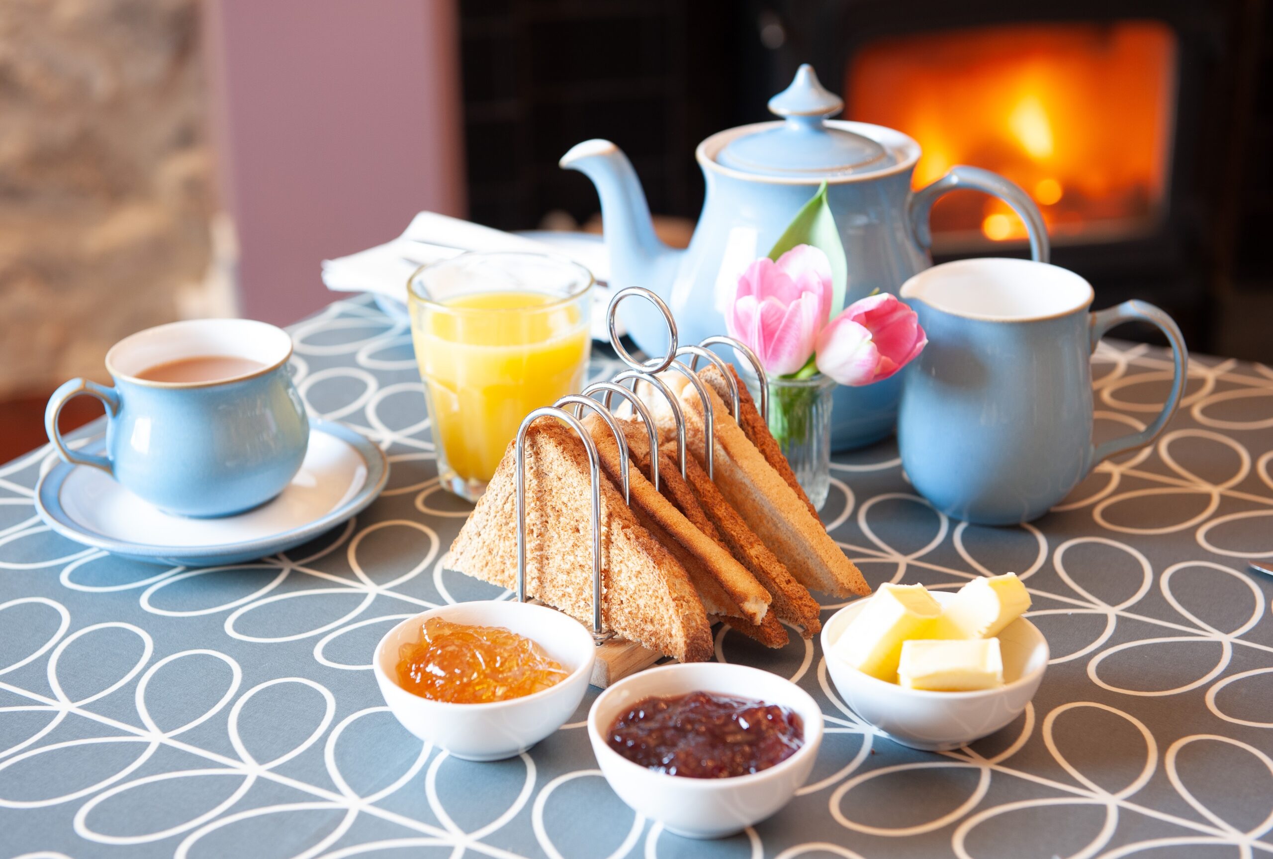
Mornings begin with our much-loved Devonshire breakfasts, freshly cooked to order. For a lighter start, guests can enjoy dishes such as smoked salmon with scrambled eggs on toast or perfectly poached eggs served on our homemade hash browns, simple, delicious, and prepared with the same attention to detail as our evening menus.
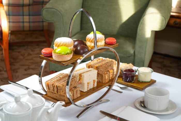
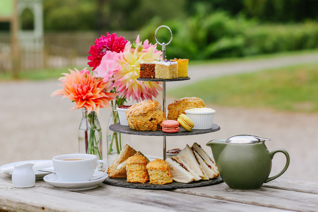
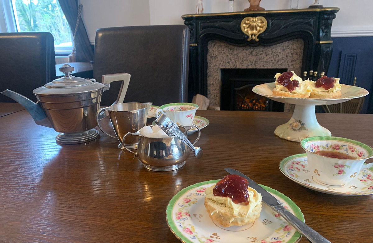
During your stay, you may also wish to indulge in our elegant afternoon tea, a truly special experience. Enjoy delicate finger sandwiches, warm scones served with strawberry jam and clotted cream, and a selection of homemade cakes, all served in the comfort of our lounge or overlooking the valley, perfect for a relaxed and memorable treat.
Consistently praised in 5-star reviews, dining at Lydgate is more than just a meal, it is an experience. A true taste of Dartmoor, where refined food, warm hospitality, and exceptional ingredients come together effortlessly.
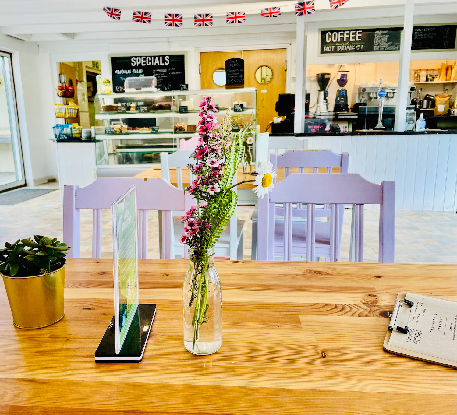
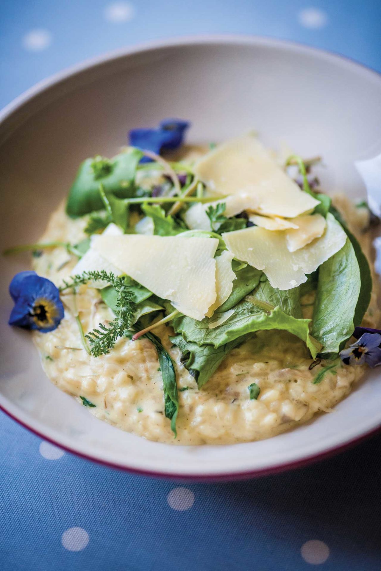
Canonteign Kitchen offers a delicious selection of homemade food. Enjoy hearty breakfast baps, seasonal lunches, cakes, classic Devonshire and afternoon cream teas, barista coffee, and a special children’s menu.
Relax in the cosy indoor café, complete with comfortable seating and a sofa area by a roaring fire in the winter months, or make the most of the beautiful surroundings outside. Choose from the sun terrace, courtyard, or picnic areas around the grounds, all with stunning views across the Lily and Swan Lakes.
On weekends and during school holidays, the outdoor Snack Bar serves light bites, hot drinks, and ice creams—perfect for enjoying on the go.
Gluten-free and Vegan options available.
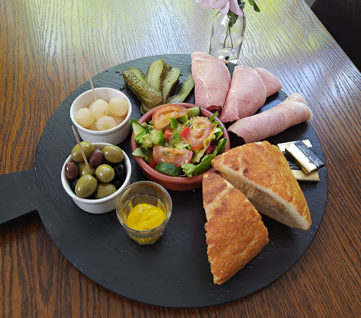
Join us for our Breakfast Club or linger over a long, lazy lunch near Okehampton — with open sandwiches stacked on homemade sourdough, sharing platters loaded with local cheese + charcuterie, and local wine poured by friendly faces. From morning coffees to Devon-style feasts, this is food made to bring people together.
A Breakfast to Remember!
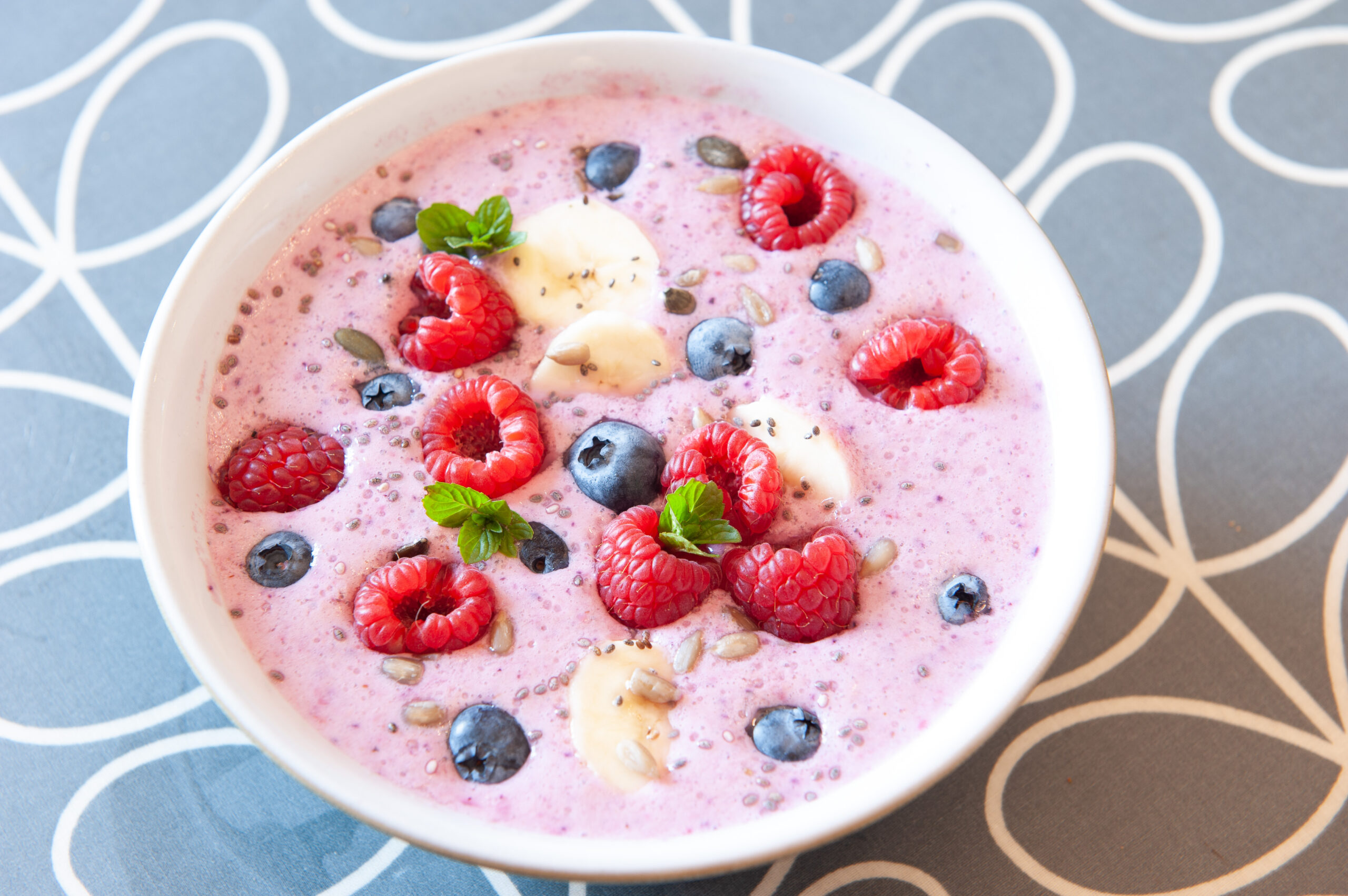
Your host Amy, with the help of Butler Biff, will be whipping up gorgeous gourmet breakfasts every morning, so you can expect to wake up to the golden smell of delicious baked pastries and freshly brewed coffee wafting up the stairs from the Breakfast Room.
Our continental vegetarian breakfasts are made using largely seasonal, locally sourced ingredients. Vegan and gluten or dairy free options are available with prior notice.
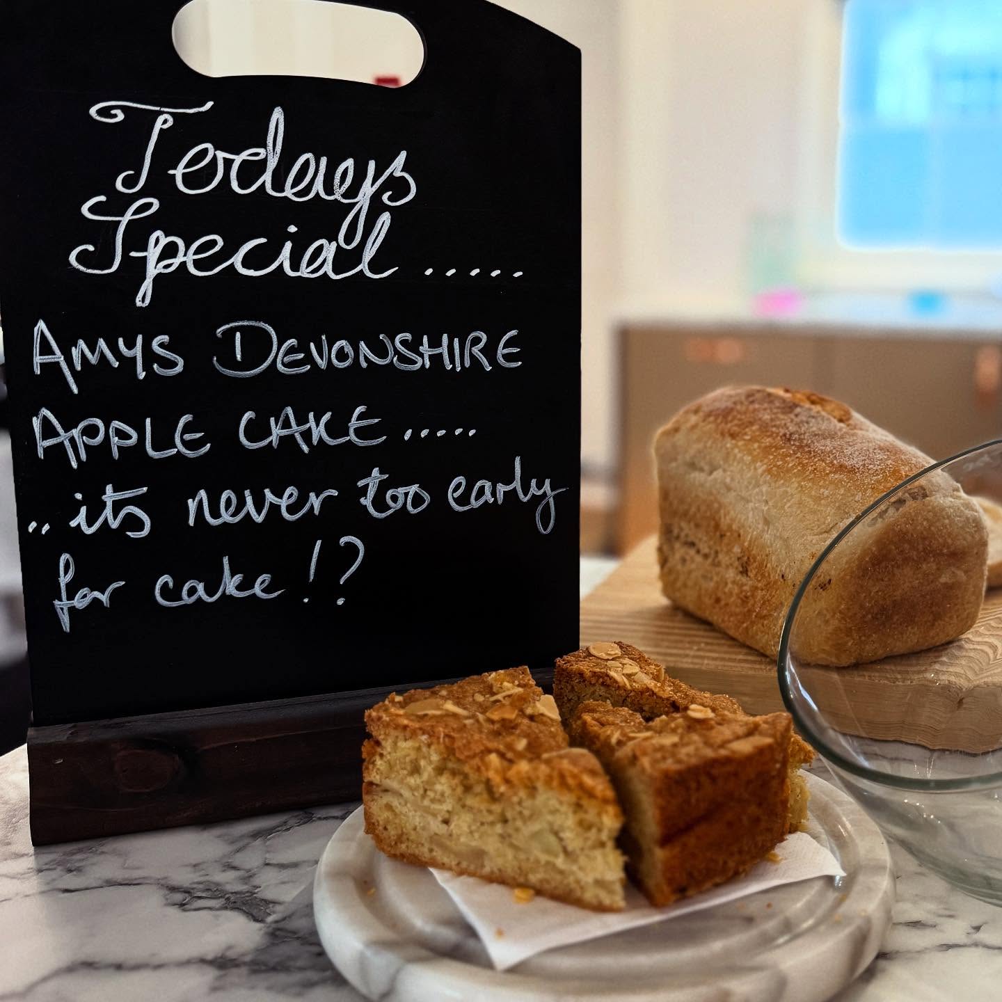
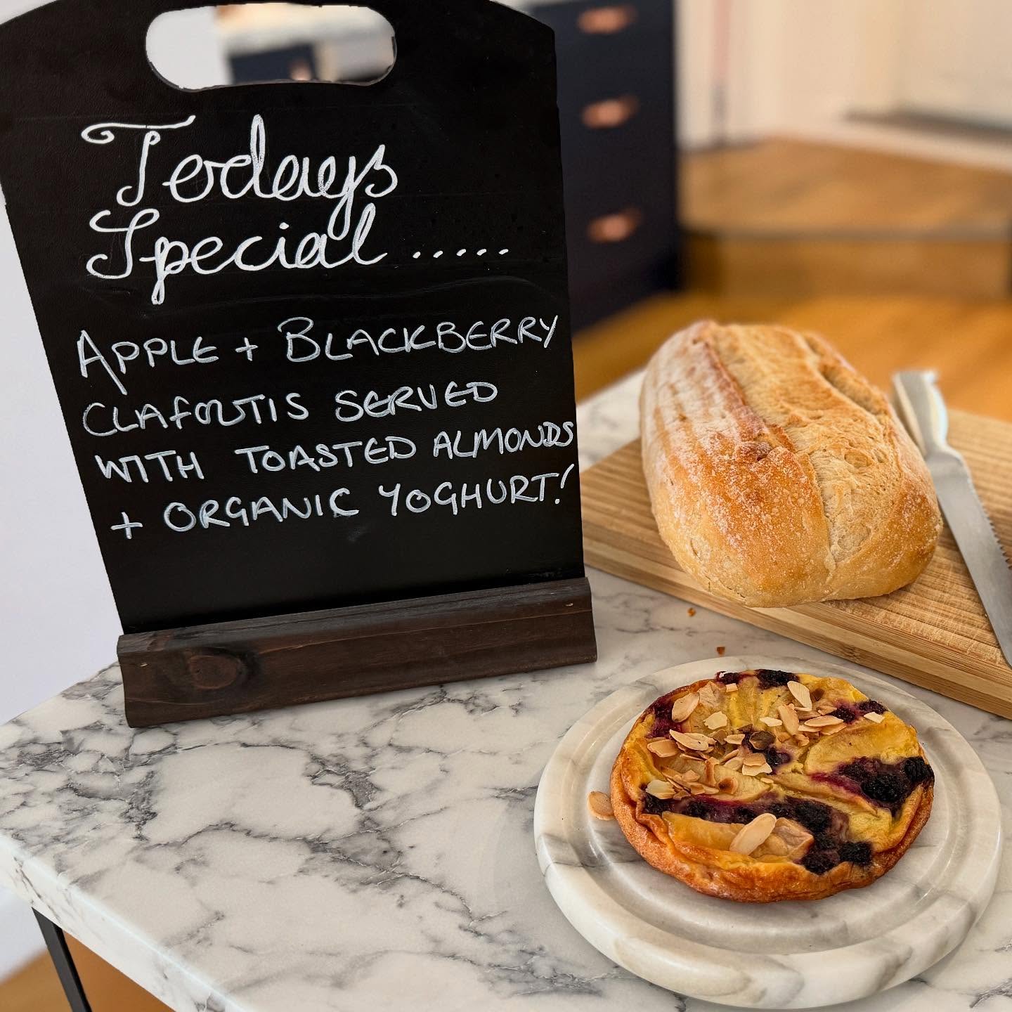
There is also a breakfast special every day, which varies with the availability of produce from the guest house garden or local farms. Spinach scramble, poached figs and yoghurt, banana and chocolate muffins or spiced overnight oats, to name a few!
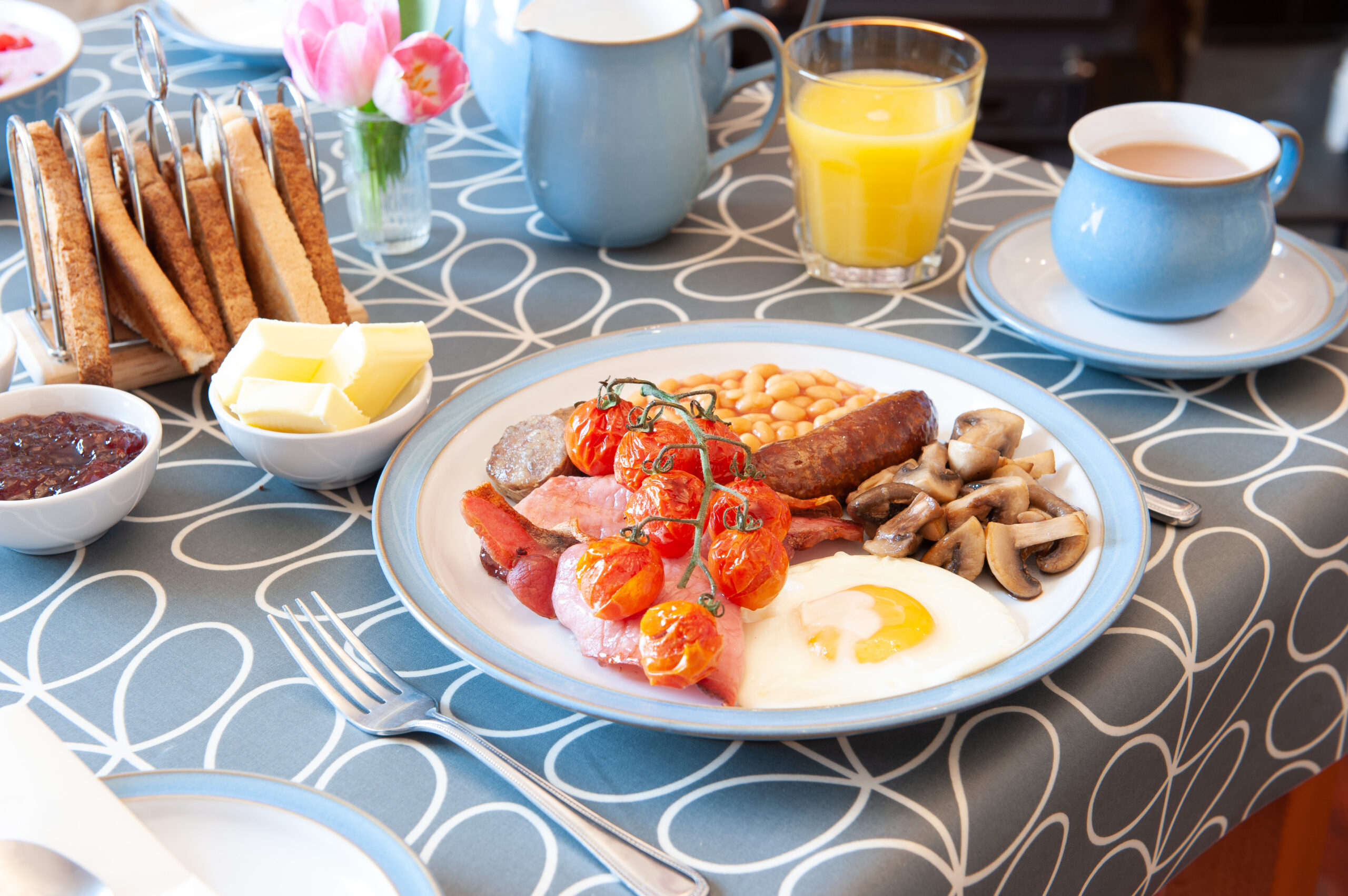
At Duchy House we offer a wide choice of freshly prepared options, ensuring you are ready for a day exploring beautiful Dartmoor. We strive to provide the best breakfast possible and to do this we’re committed to using the highest quality local produce. This not only supports the local economy but guarantees freshness whilst reducing food miles and waste. It is this commitment to our community, environment and sustainability that helped us to achieve the highly coveted Gold standard, awarded by Green Tourism.
Our suppliers
Our eggs come from the nearby village of Meavy where Jenny, of Meavy Maid, has her farm. Once battery hens, they are now happy free range chickens, scratching around in the fertile Dartmoor soil, breathing in the amazing clean air and taking in the stunning views. Jenny also makes all our jam and marmalade, although the Dartmoor climate means she doesn’t grow her own oranges!
All our meat – sausages, bacon and hogs pudding – comes from our local butcher, 7 miles away in Tavistock. A traditional family butcher, all sausages are made by hand on the premises to a family recipe.“What’s hogs pudding?” I hear you ask…
Well it’s nothing like black pudding. Hogs pudding is a traditional Devon type of pork sausage but with a firmer texture and a slightly peppery taste.
Fresh fruits and vegetables come from our local supplier in Tavistock.
Although everything may not be organic, it is fresh and full of flavour.
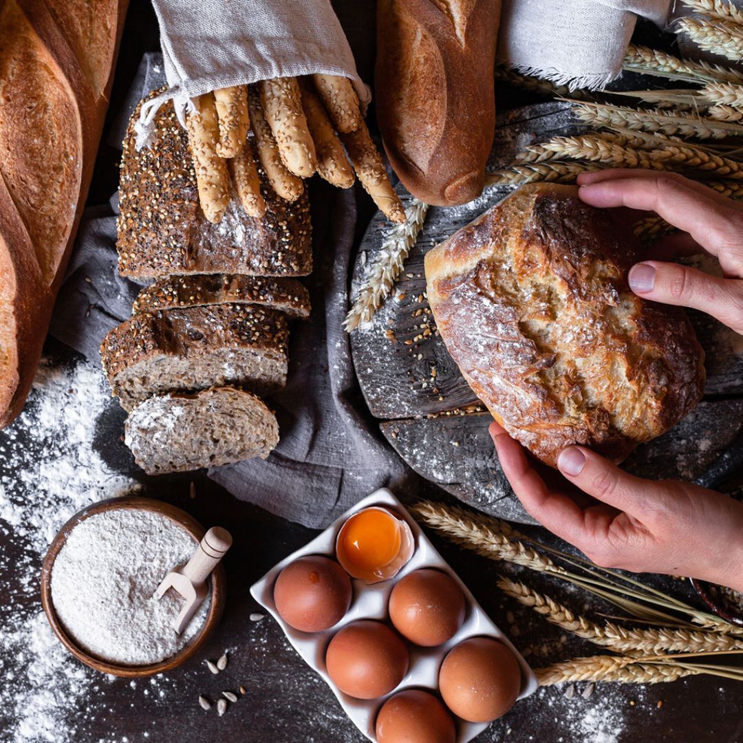
We even bake our own bread every day, so we know exactly what goes into it, plus it makes the toastiest toast!
Last but by no means least – coffee. Life is too short for bad coffee, so we only use the highest quality beans, roasted less than five miles away in Horrabridge by Dartmoor Coffee – freshly ground to order for every cup.
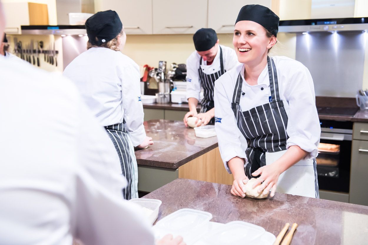
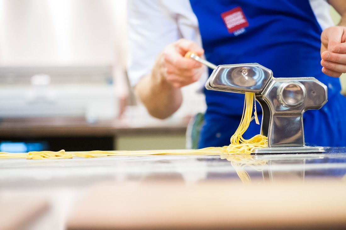
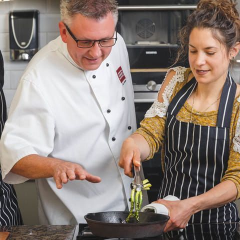
The Ashburton Cookery School in Devon is one of the UK’s top cookery schools offering inspirational cookery courses taught by our team of expert chefs.
With over 50 cookery courses to choose from, designed to suit beginners as well as advanced home cooks we will teach you to cook with imagination, passion and enjoyment. If you want to take your cookery skills to the next level we have a cookery course for you.
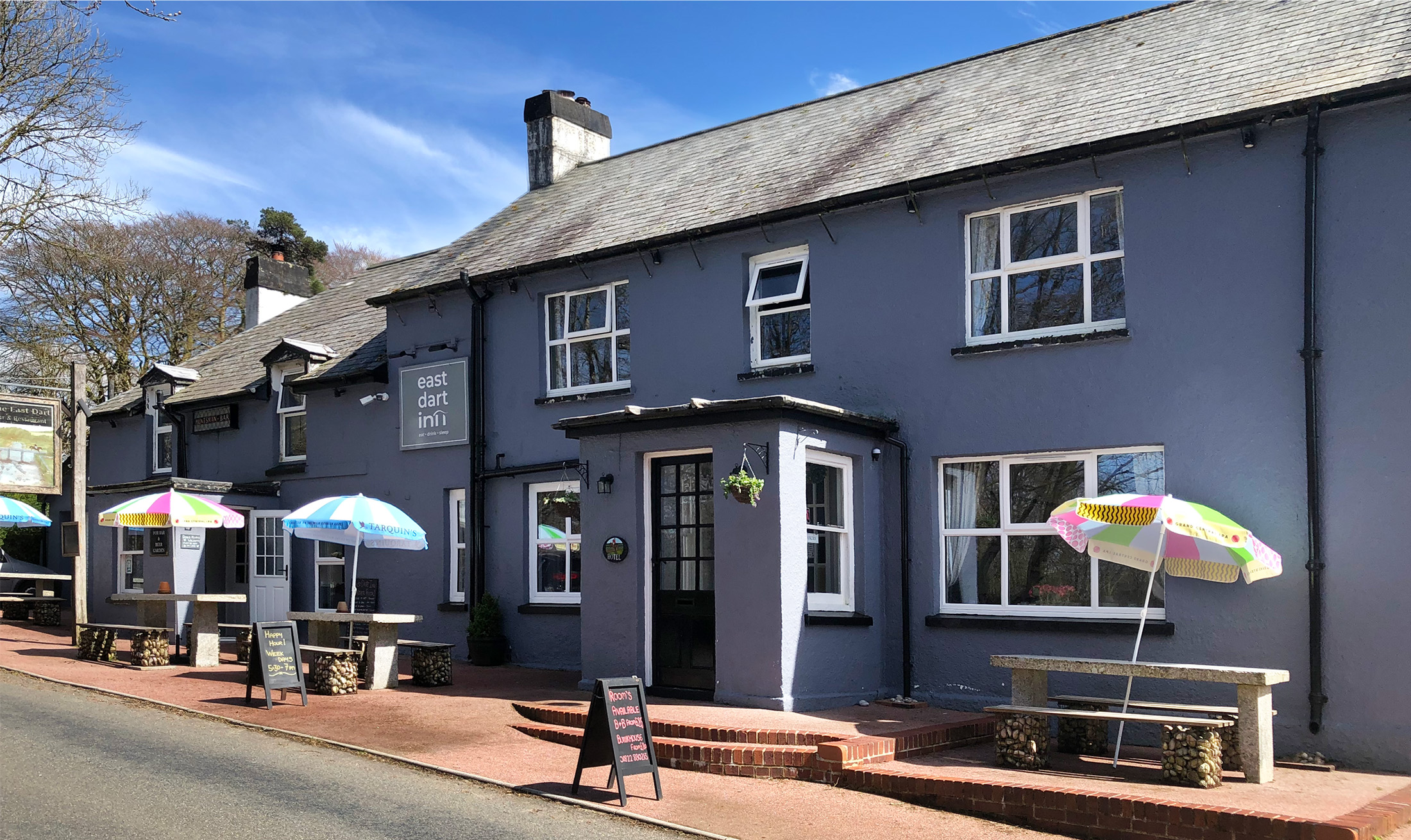
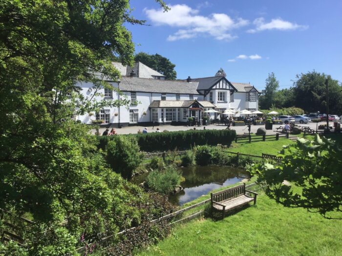
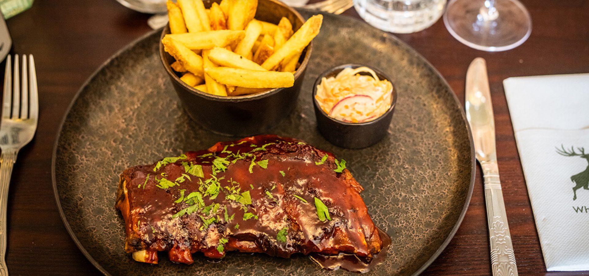
The East Dart Inn is situated in the heart of Dartmoor in Postbridge, close to the famous clapper bridge and the Dartmoor National Park visitor center. A warm welcome awaits you at this historic coaching inn, which has been beautifully renovated, but still has many original features.
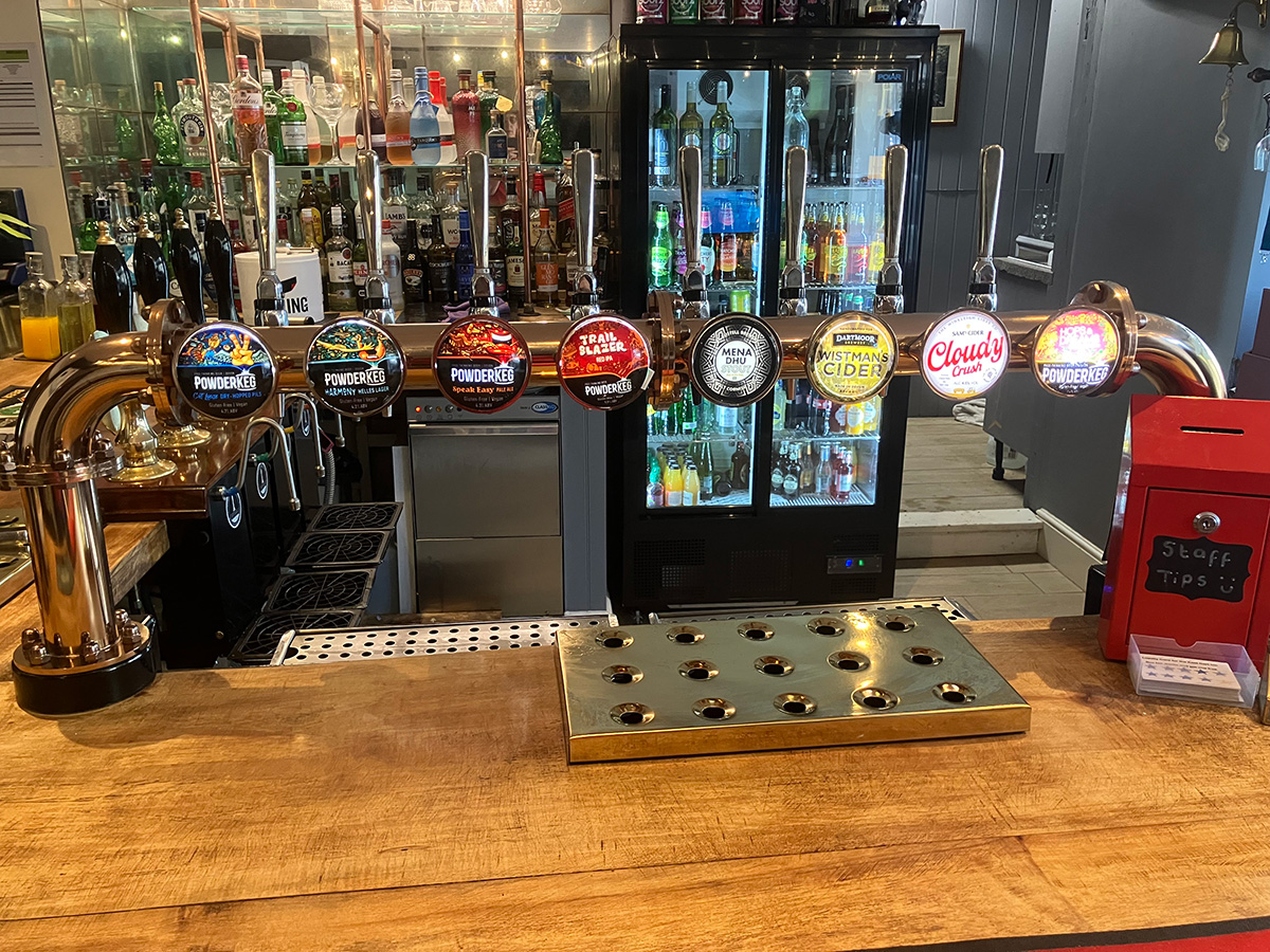
Here at the East Dart Inn, the bar offers local West Country brews and ciders or hot beverages.
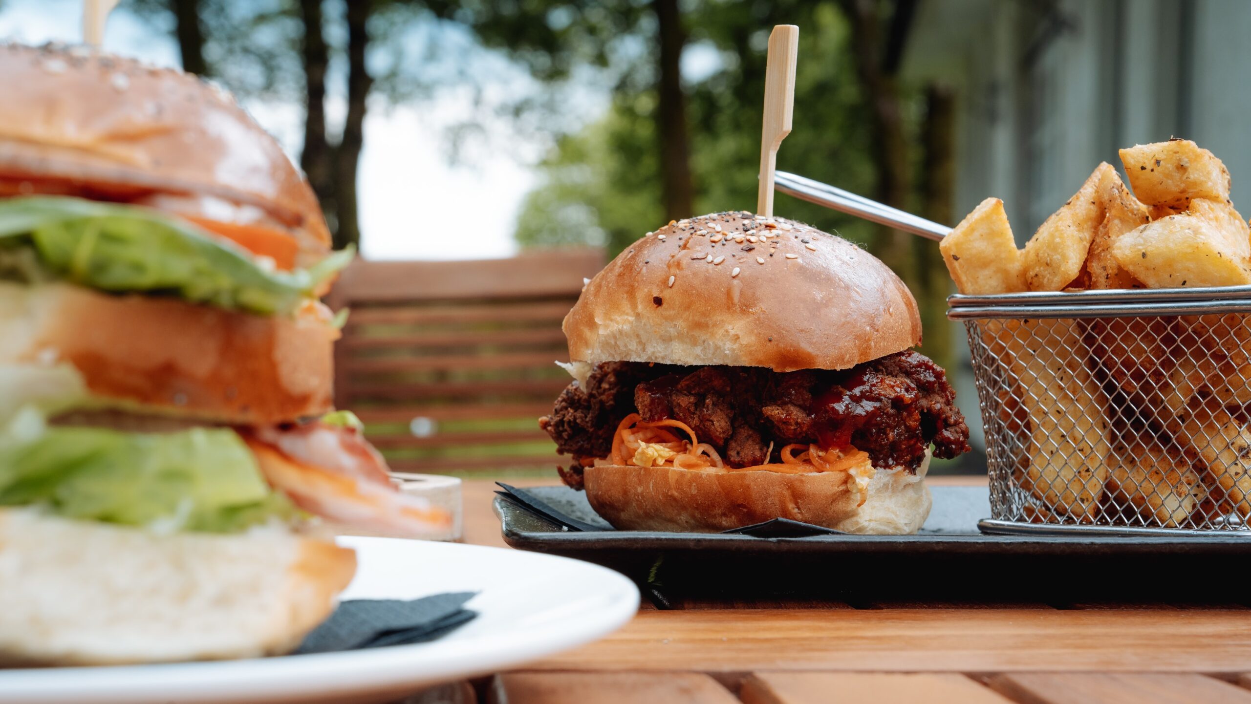
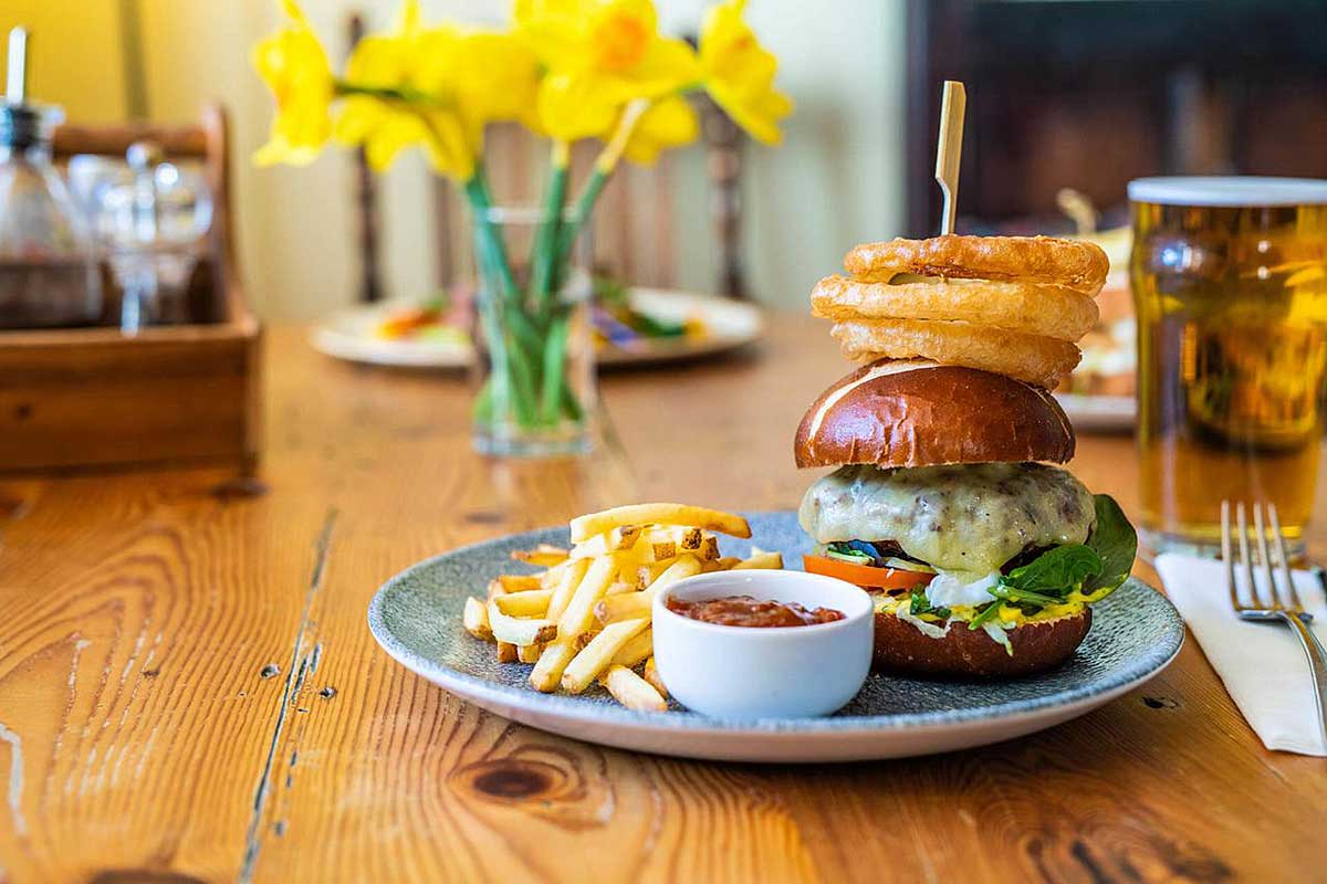
Our menu changes with the seasons, with winter warmers of homemade soups and toasties, through to pub classics like burgers and fish and chips, as well as light lunches, cream teas and pizzas in the summer months, hand cooked in our wood fired pizza oven in our rear beer garden.
During the day our vintage tea rooms are open, with home made cakes, scones and more available, all served on traditional crockery, in a beautifully decorated room, taking you back in time. Afternoon teas are available on request.
We also welcome group bookings for lunches, cream teas or evening meals. We are a perfect stopping point on a walk on the moors or a longer visit to Postbridge. Coach parking is available at the visitor centre.
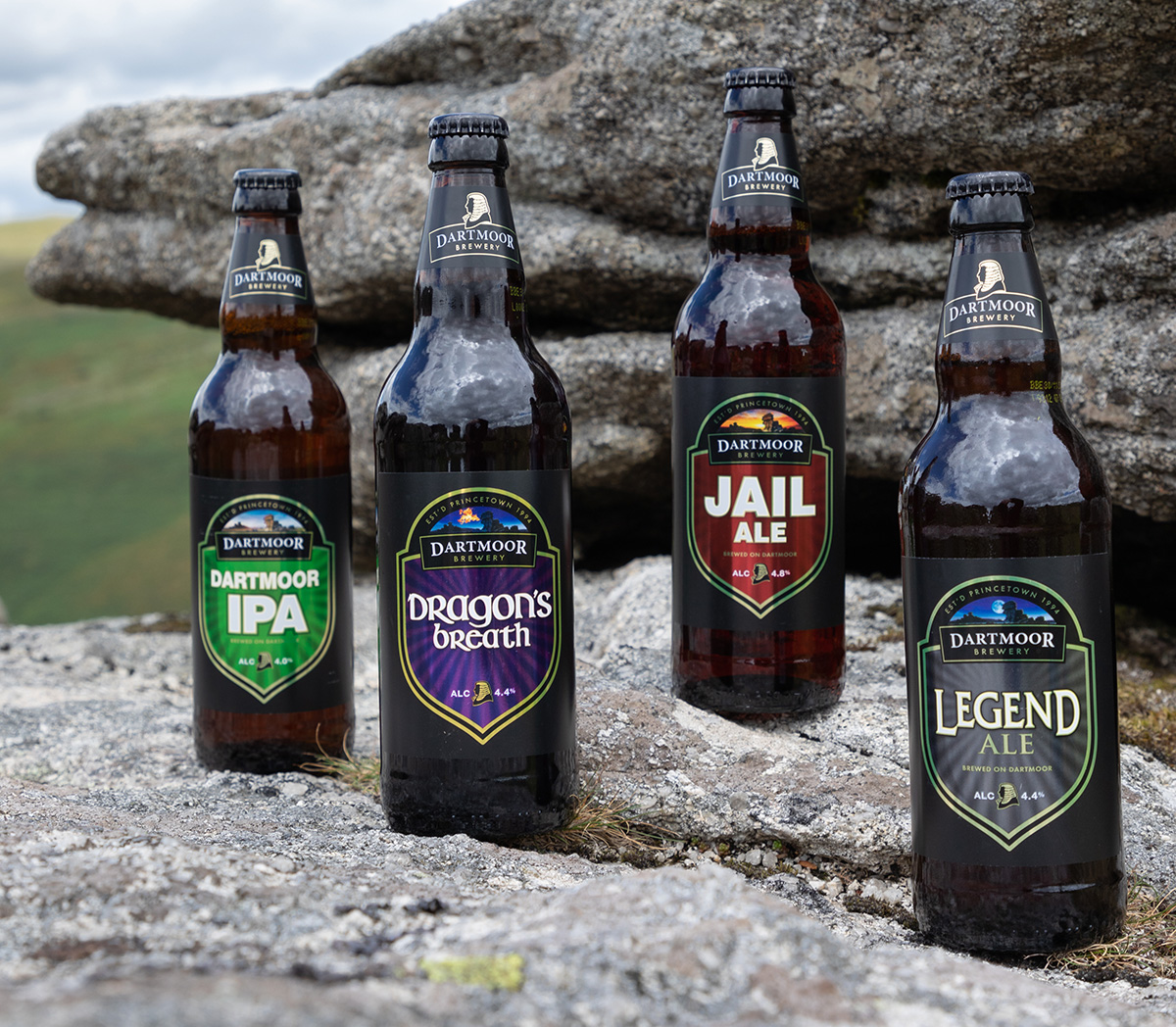
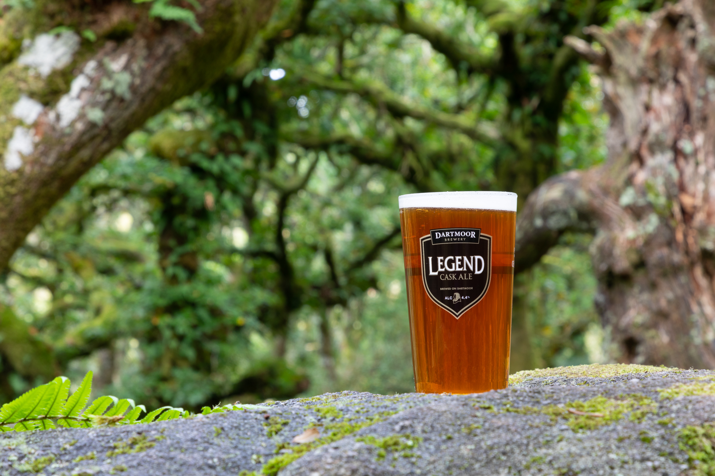
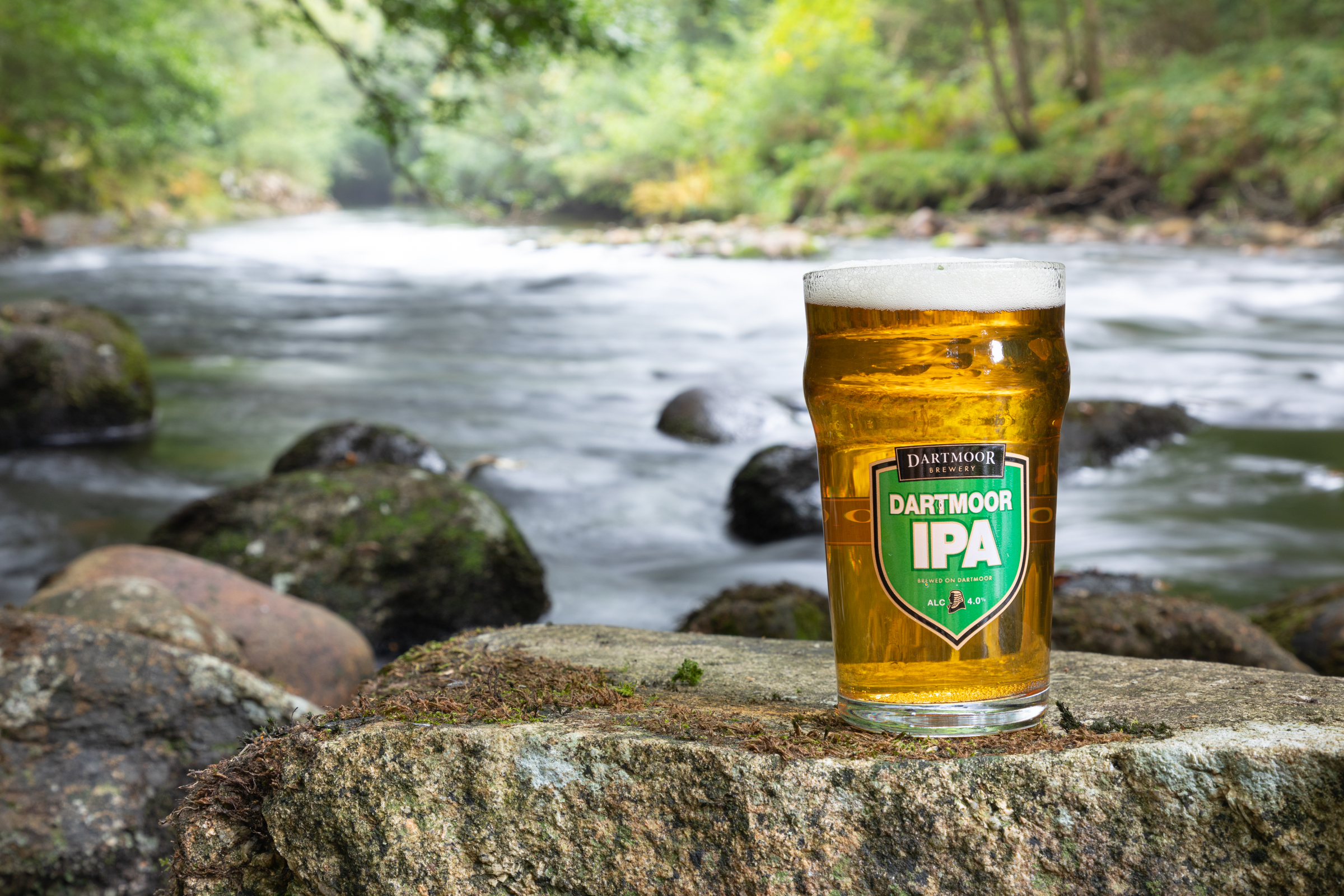
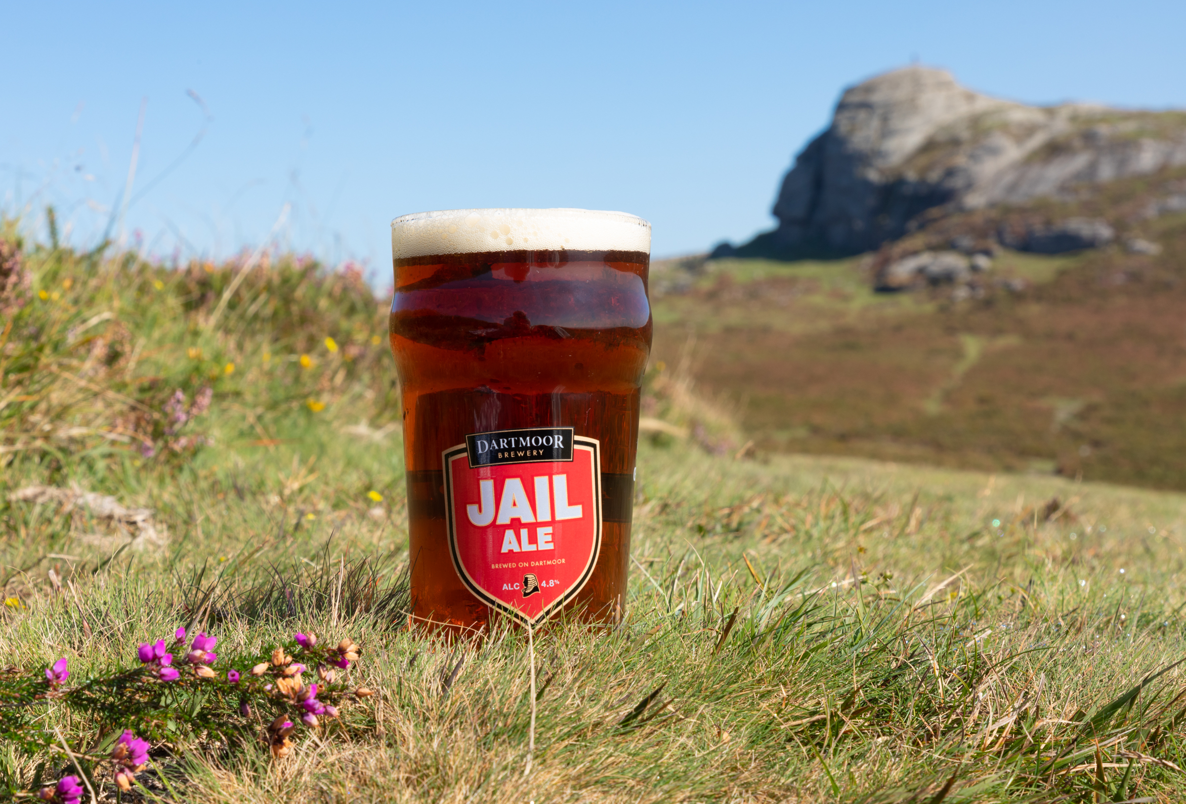
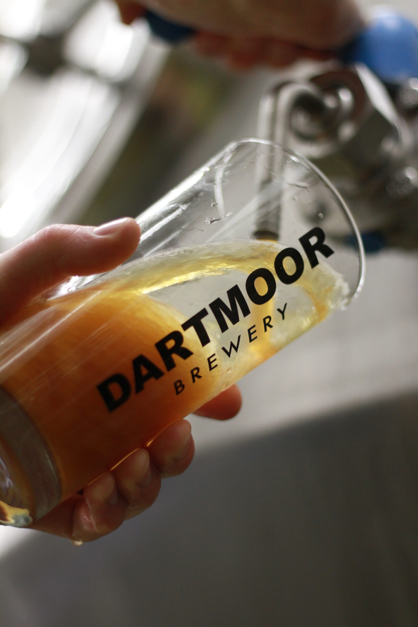
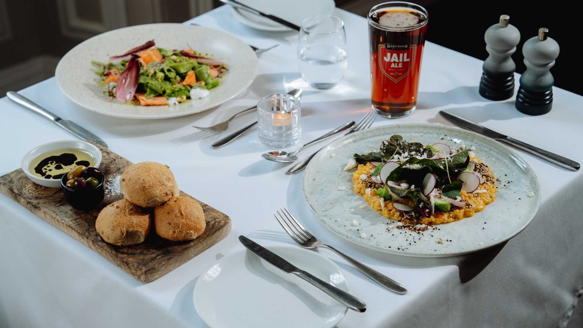
BREWED ON DARTMOOR…BEER WITH ALTITUDE…ENGLAND’S HIGHEST BREWERY
Dartmoor is our birthplace, our home, and the inspiration for our ales. We’ve been brewing our traditional beers, including the famous and original Jail Ale, for 30 years, here in the heart of Dartmoor National Park. At 1465ft above sea level, we are the highest brewery in England. Breathtaking scenery, wide open spaces and crisp fresh air create a unique backdrop for the brewer’s art, adding an undefinable depth, quality and character to every Dartmoor Brewery ale.
Visit Dartmoor for yourself if you can. Get out and experience it. Breathe the air, soak up the views, smell the essence of wild countryside, and feel the myths and legends. Find a glorious Dartmoor pub serving Dartmoor Brewery ales, and cherish the day.
Whether you’re hiking Dartmoor’s rugged trails, taking a dip in a wild river, or catching up with friends at the local pub, there’s a Dartmoor beer to suit the moment. From exploring the great outdoors to a laid-back pint with good company, wherever the day takes you, Dartmoor Brewery is there to make it even better.
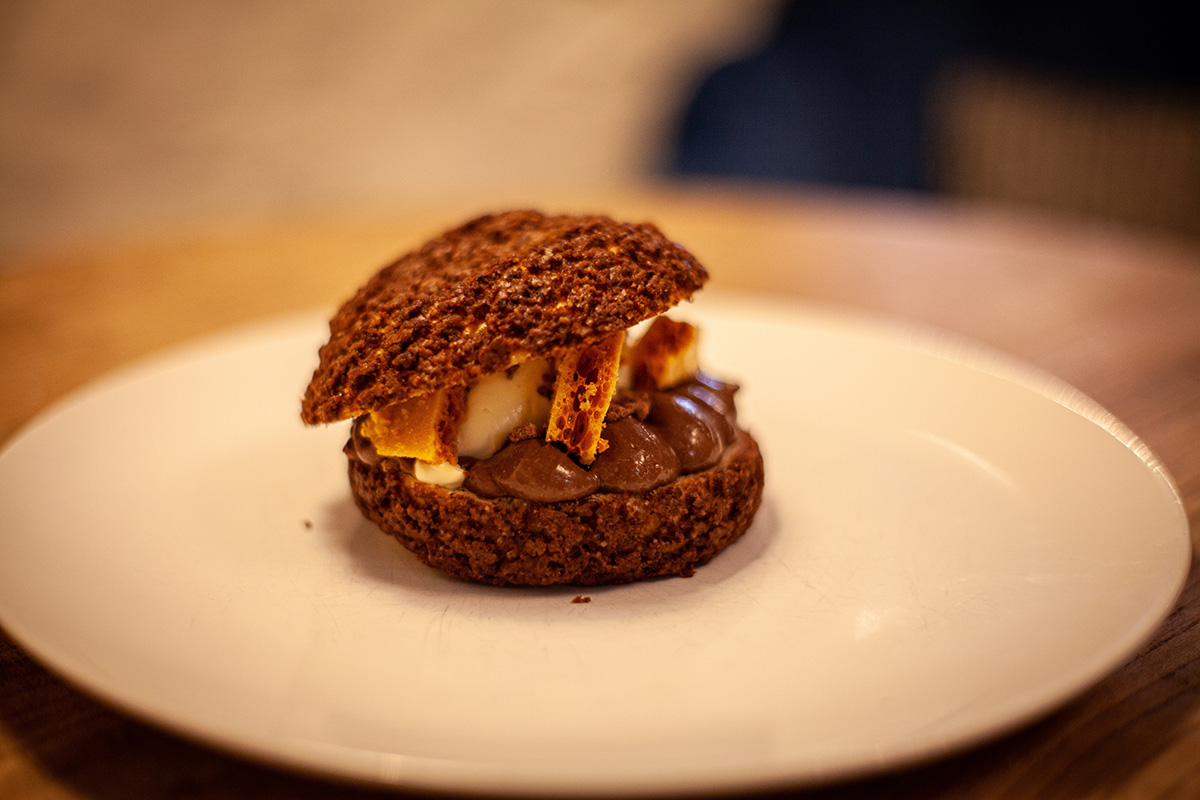
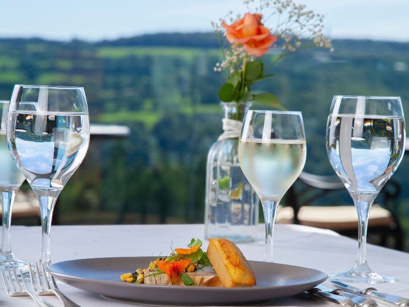
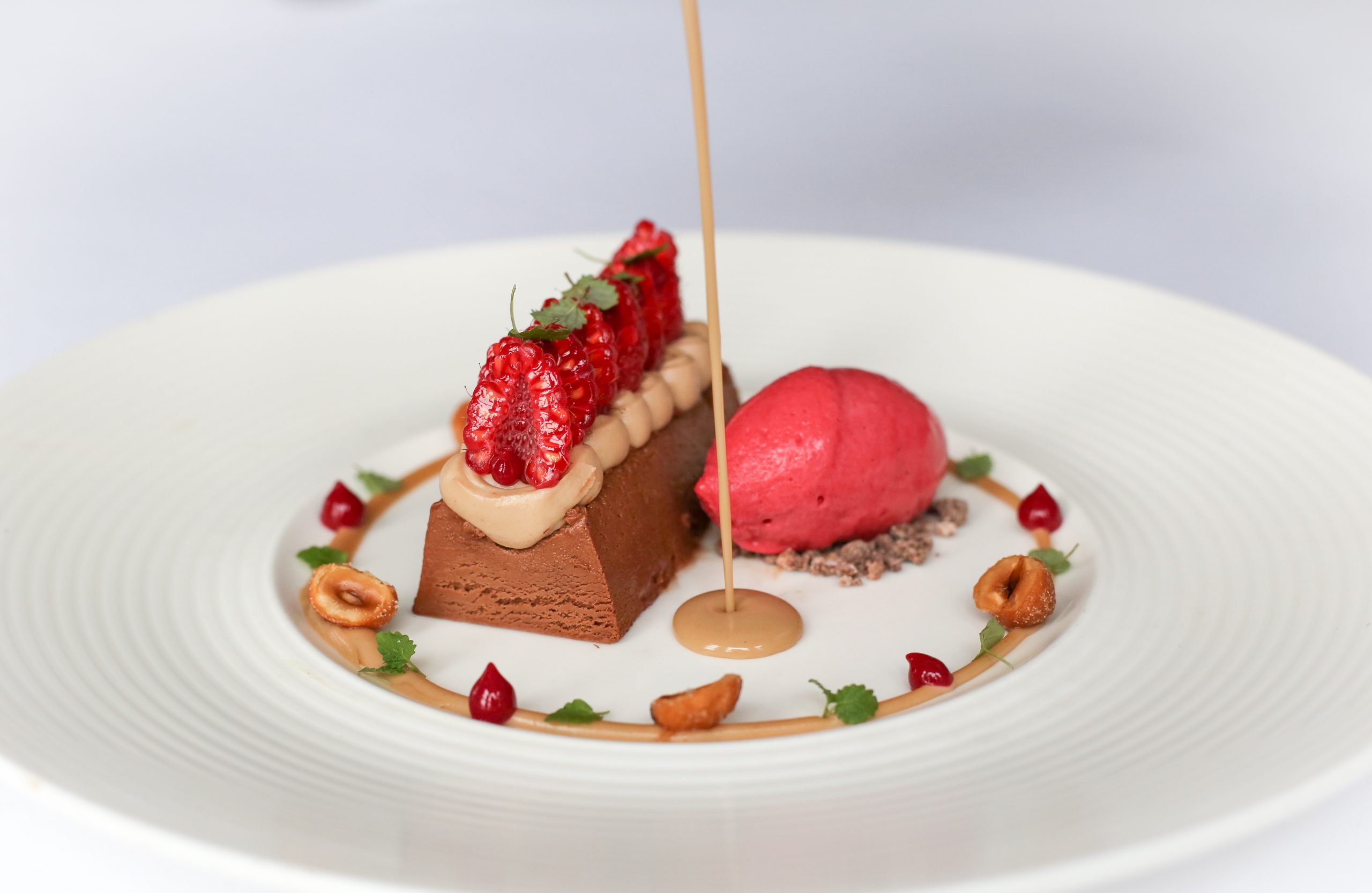
A Culinary Journey Shaped by Season & Place
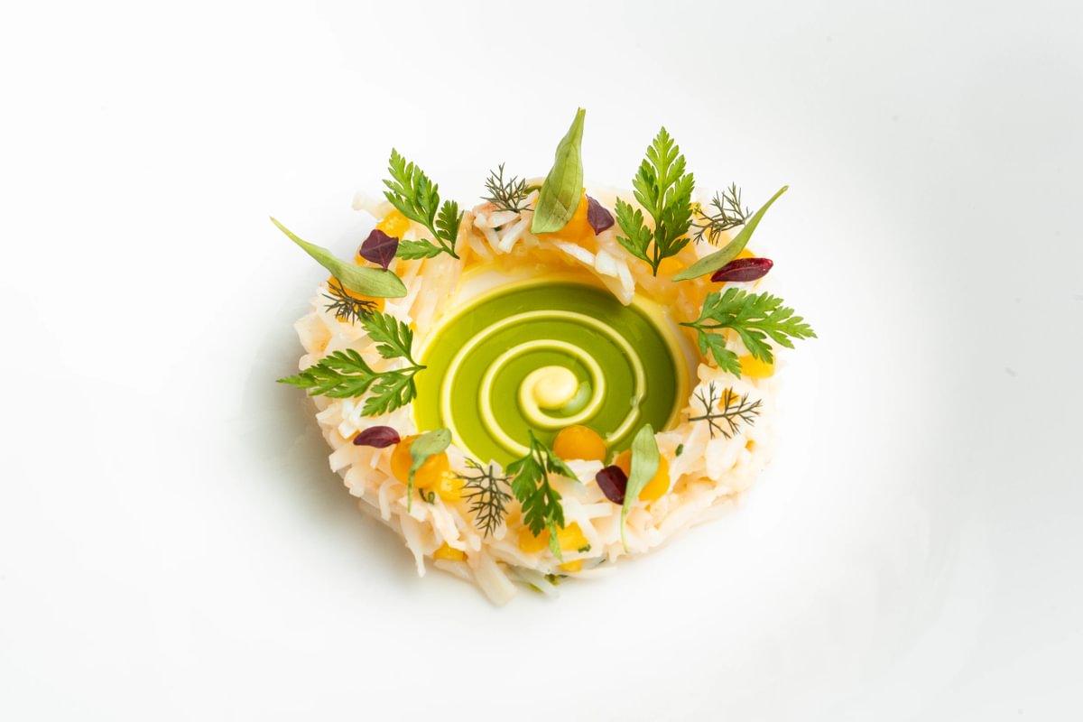
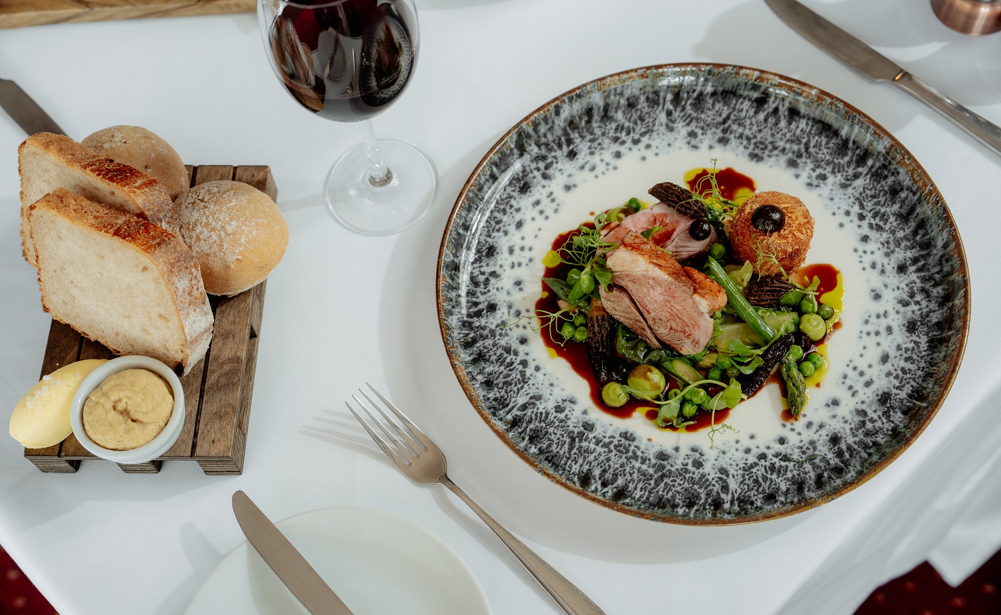
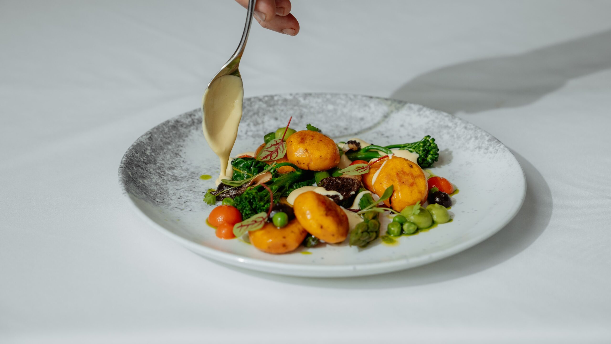
At Gidleigh Park, dining is more than a meal — it’s a thoughtful experience rooted in the seasons, the kitchen garden and the landscape that surrounds us. From refined tasting menus in our Michelin-starred setting to relaxed lunches with valley views, each dish is crafted with provenance, precision and a quiet sense of occasion. Savour the best of Devon’s produce, paired with warm hospitality and unforgettable flavour.

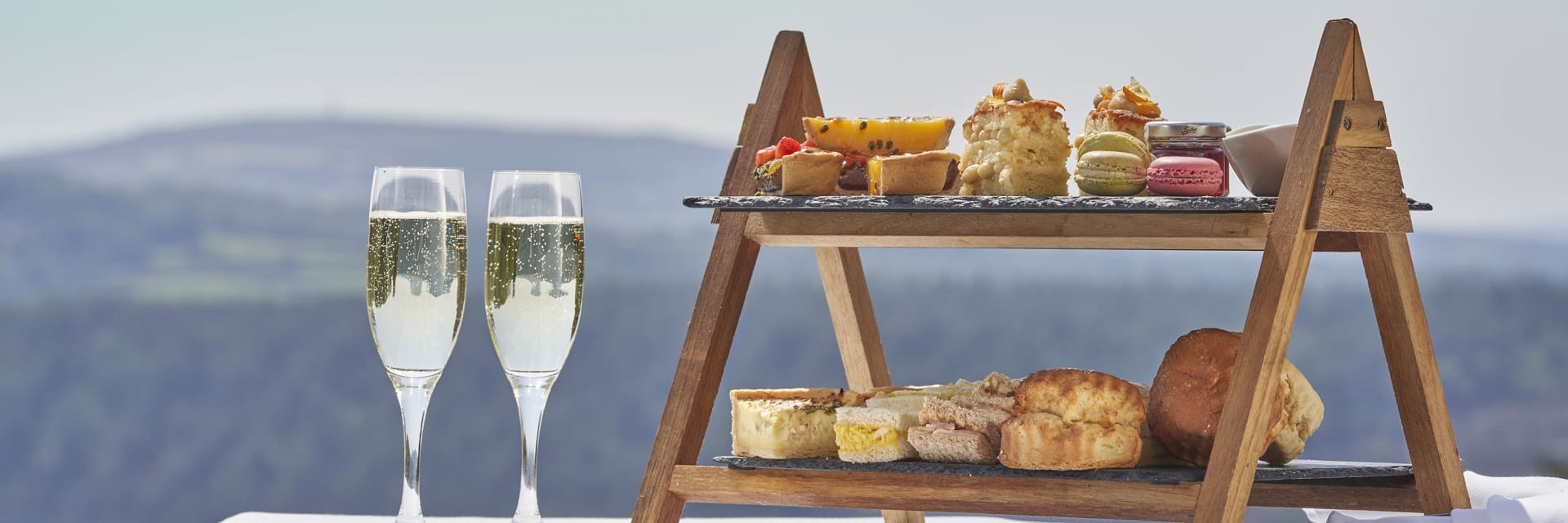
Afternoon tea at Boringdon Hall
Step into the grandeur of the historic Boringdon Hall Hotel near Plymouth and enjoy the special treat of a delightfully themed afternoon tea. Relax in the elegant surroundings of the Great Hall within this Elizabethan country manor and indulge in a selection of delicate savouries alongside beautifully crafted sweet confections and cakes. Throughout the year, afternoon teas at Boringdon Hall evolve with the seasons, each one celebrating a new moment in the calendar.
From the 8th February to 30th April, step into a storybook-inspired escape with the Tea & Tales Afternoon Tea.
Gift mum a day of luxury on 14th & 15th March with Mother’s Day Afternoon Tea, complete with a glass of champagne, choosing from two sittings: 1–3pm and 3–5pm.
On 1st April, expect a few surprises at the playful April Fools’ Afternoon Tea where all is not as it seems, and savour seasonal delights at Easter Afternoon Tea from 3rd to 6th April.
From the 1st to 31st May, Boringdon celebrates estate-made honey with Honey Afternoon Tea. For an immersive experience, join the Beekeeping Course & Honey Afternoon Tea on Mondays in May, including a guided hive visit.
The classics return with Traditional Afternoon Tea from the 1st to 28th June, followed by summer style with Wimbledon Afternoon Tea from the 29th June to 12th July, offering a playful nod to the beloved tennis championships.
At Boringdon Hall, every afternoon tea is more than a treat, it’s an unforgettable experience to be savoured at the enchanted place on the hill.
Book afternoon tea at Boringdon Hall in Devon.
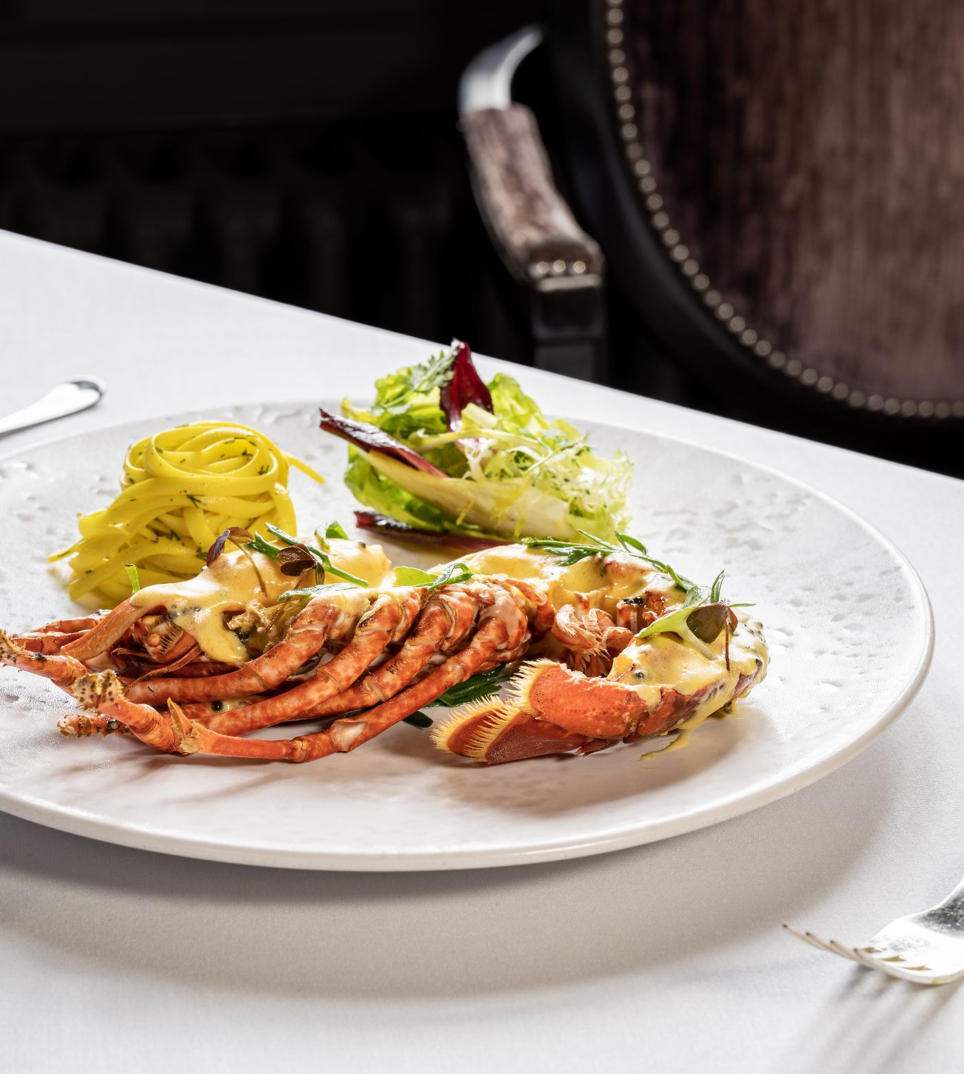
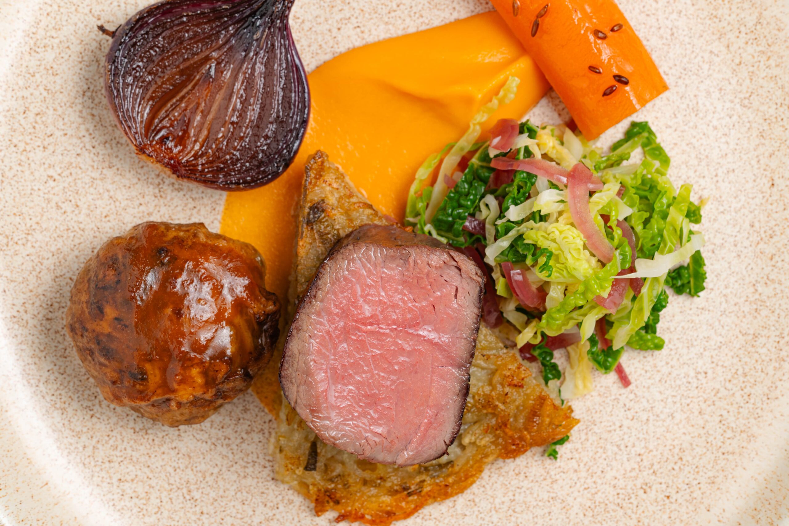
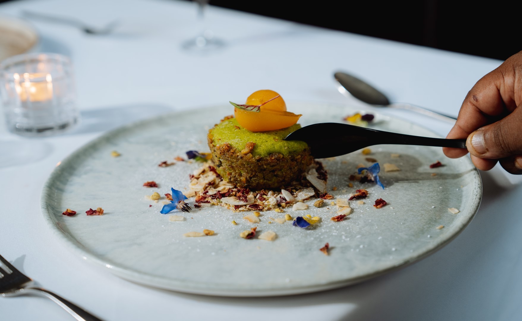
MICHELIN moments at Àclèaf
For an exquisite dining experience that lingers long after the final course, spend an evening at Àclèaf, the MICHELIN-Starred, 4 AA Rosette restaurant nestled at the heart of Boringdon Hall Hotel. Settle into an intimate, romantic setting overlooking the Great Hall and savour a night celebrating the very best of Devon’s local produce.
At Àclèaf, Head Chef Scott Paton crafts menus that evolve with the seasons, showcasing modern British cuisine at the peak of creativity and technique. From the signature four-course menu to the seven-course tasting menu, every dish reflects a harmonious blend of innovation, tradition and sophistication.
Àclèaf earned its MICHELIN Star for the fourth consecutive year in 2026, a testament to the restaurant’s exceptional vision, technical skill, and dedication to delivering memorable experiences for every guest.
Expertly curated wine pairings complement each menu to enhance flavours and elevate the experience of every dish. Whether you are marking a special occasion or seeking a magical night of fine dining in beautiful surroundings, Àclèaf promises a culinary journey to remember.
Until the end of February, discover some of the restaurants most-loved dishes with the Acleaf x Acleaf Book Menu. Savour four courses taken from the Àclèaf book, a beautifully bound keepsake by Head Chef Scott Paton that celebrates Acleaf’s journey from idea to fruition. Each course is served with recipe cards for a rare insight into the inventive dishes and local ingredients the restaurant is renowned for.
Make 2026 a MICHELIN year with an evening at Àclèaf, at Boringdon Hall near Plymouth.

The Chagford Inn , Award-Winning Dining on the Edge of Dartmoor
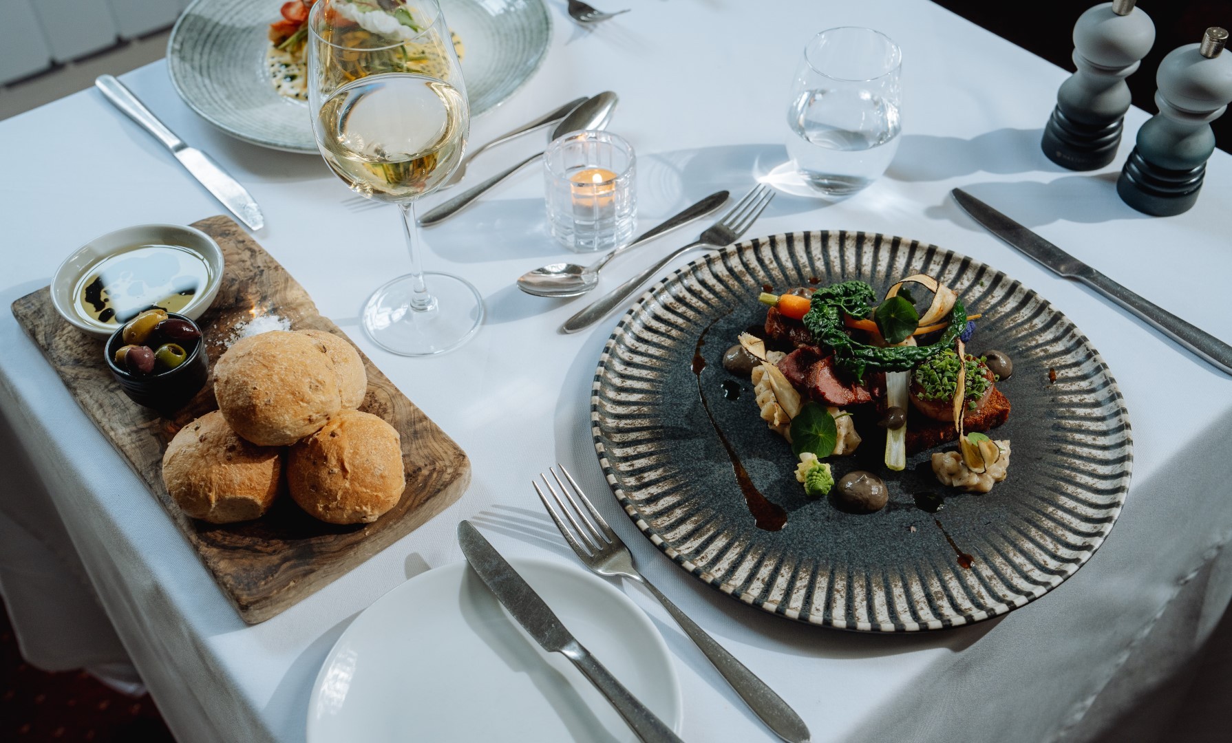
At The Chagford Inn, food is not just served, it’s brought to the table with care. Nestled in the historic stannary town of Chagford, our pub has earned its reputation as one of Devon’s leading dining destinations, celebrated for imaginative menus, devon and ethical produce, and relaxed, heartfelt atmosphere.
Our chefs work closely with local farmers, growers, and producers, baking our own bread, butchering in-house, and championing the flavours of Dartmoor in every dish. It’s this commitment to quality that has earned us national recognition from an AA Rosette for culinary excellence to a coveted place in the Estrella Damm Top 100 Gastropubs 2026, plus multiple regional awards including Trencherman’s Best Pub 2025 and Food Drink Devon Best Pub 2025/26.
What we offer:
Dine with us: Our menu evolves with the seasons and the landscape around us high-quality, imaginative food served in a setting that blends character and comfort. Whether you’re joining us for a relaxed lunch or an evening celebrating the very best of the South West, every plate is designed with care and rooted in local flavour.
Stay with us: Across our peaceful courtyard garden, we offer two dog-friendly guest rooms, perfect for walkers, weekend explorers, or anyone wishing to linger a little longer in one of Dartmoor’s most picturesque towns. Warm, comfortable, and just moments from the moor the ideal base for your Devon escape.
Sunday Roasts & Afternoon Tea at Bovey Castle
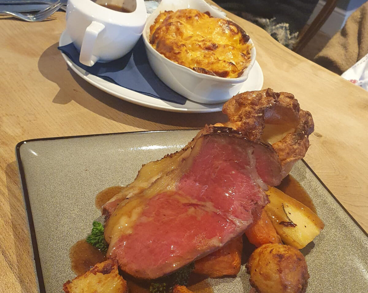
Escape to the heart of Devon and indulge in a truly memorable culinary experience at Bovey Castle. Our Sunday roasts are a feast for all the senses, think succulent, locally sourced meats, seasonal vegetables, and all the trimmings, served in our elegant dining room with views over the castle’s stunning grounds. It’s the perfect way to gather friends and family for a relaxed, delicious Sunday treat.
For a lighter but equally indulgent experience, our afternoon tea is a must. Enjoy freshly baked scones, delicate finger sandwiches, and a selection of sweet treats, accompanied by your choice of premium teas or a glass of Champagne. Whether you’re catching up with friends or celebrating a special occasion, Bovey Castle’s afternoon tea is a charming escape into a world of refinement and flavor.
Both experiences reflect our commitment to exceptional service, locally sourced ingredients, and creating moments to remember.
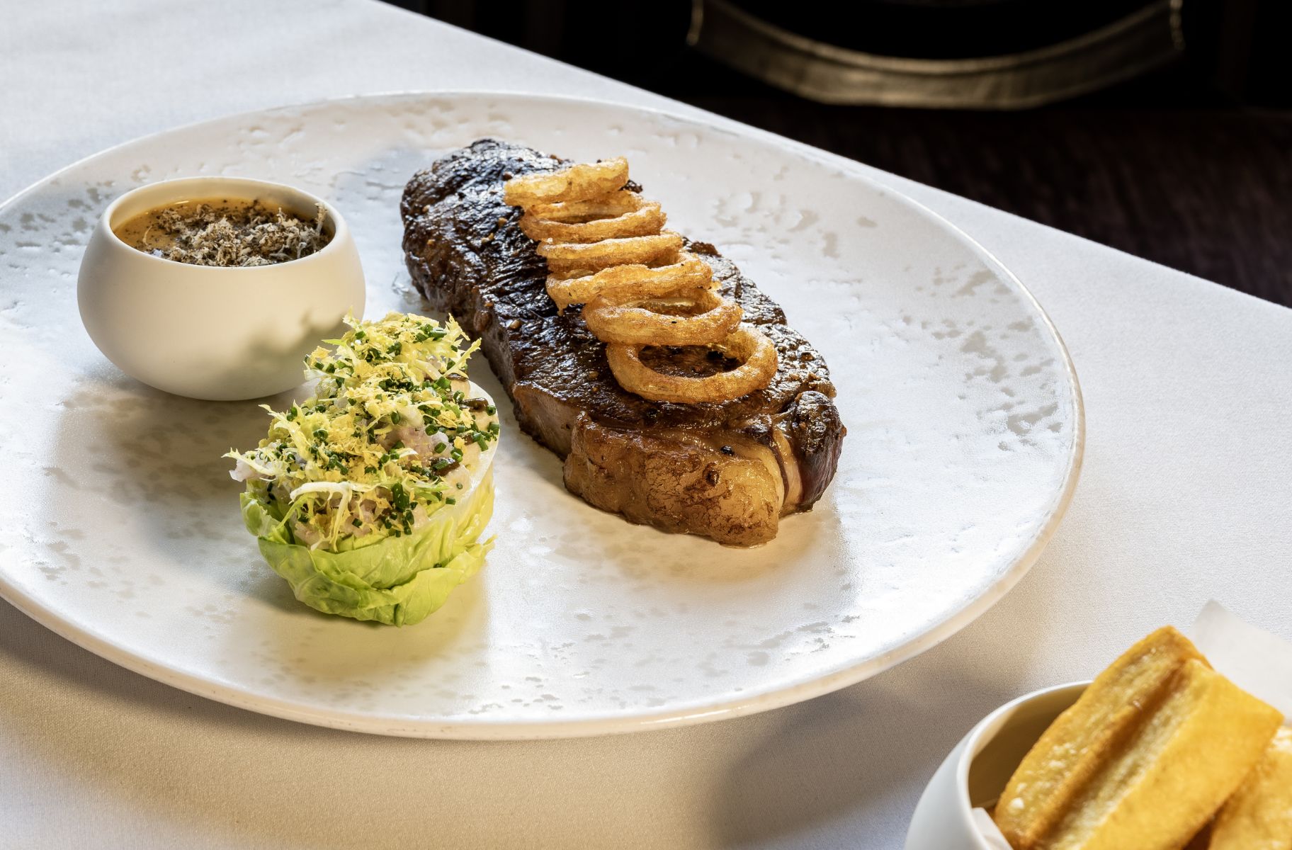
Our Fine Dining Restaurant with views of the Magnificent Tamar Valley.
With a passion for local produce and a team of helpful and attentive staff, The Horn of Plenty hotel near Tavistock has a 60 year history as one of Devon’s finest.
Our 3 AA Rosette restaurant has a panoramic view of the stunning, untouched beauty of the Tamar Valley, where diners are invited to enjoy a truly unique experience. Our menu showcases our passion for British food, with hints of French flair.
Our talented team of chefs all thrive at creating exciting dishes using high quality seasonal ingredients. Creativity, flavour and visual appeal are all harnessed to stunning effect.
We are big advocates of local producers. Over 90% of our produce is sourced from the South West. We believe passionately that Devon and Cornwall are home to some of the finest ingredients in the land, so we source locally where we can and theme our dishes based on the seasons.
Our Country House Hotel is the perfect setting to sit back and relax whilst you enjoy this charming Devon pastime. Enjoy the perfect afternoon tea on the patio, in the restaurant or in our lovely drawing room.
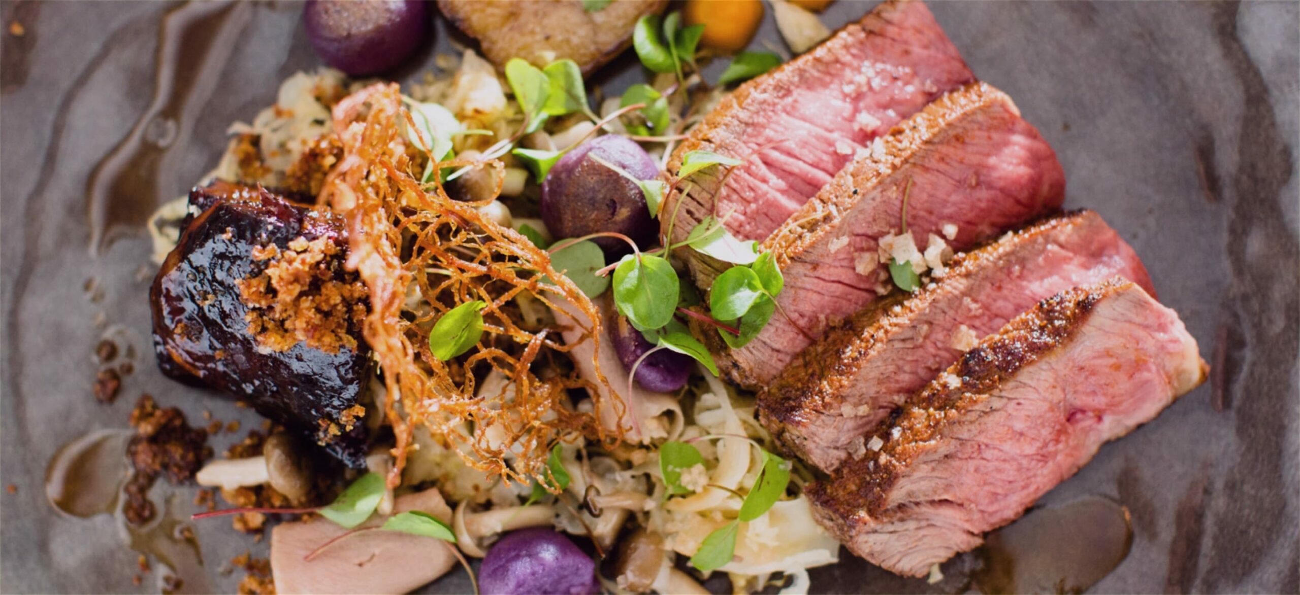
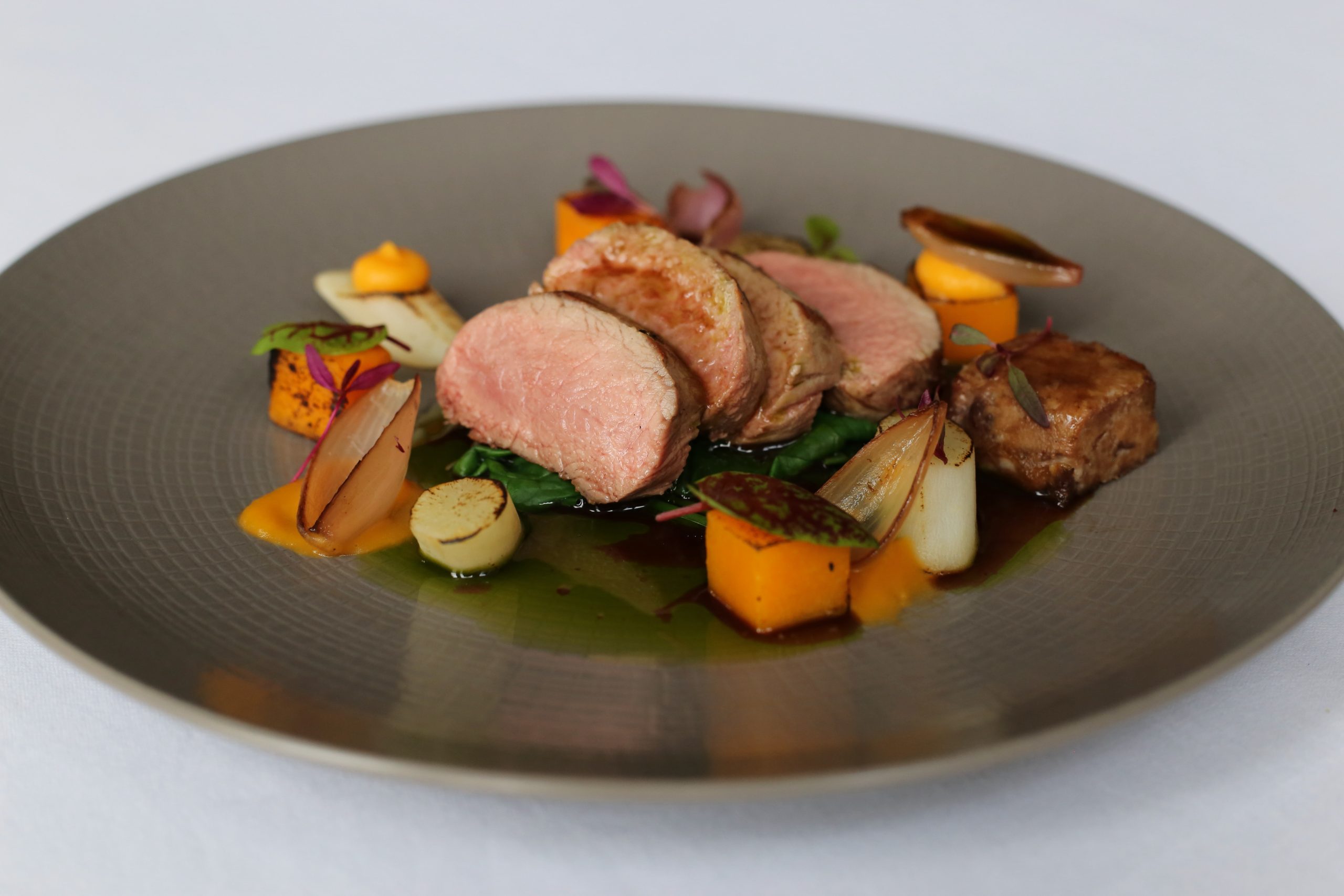
Gourmet Dining at One of The Best Restaurants in Devon
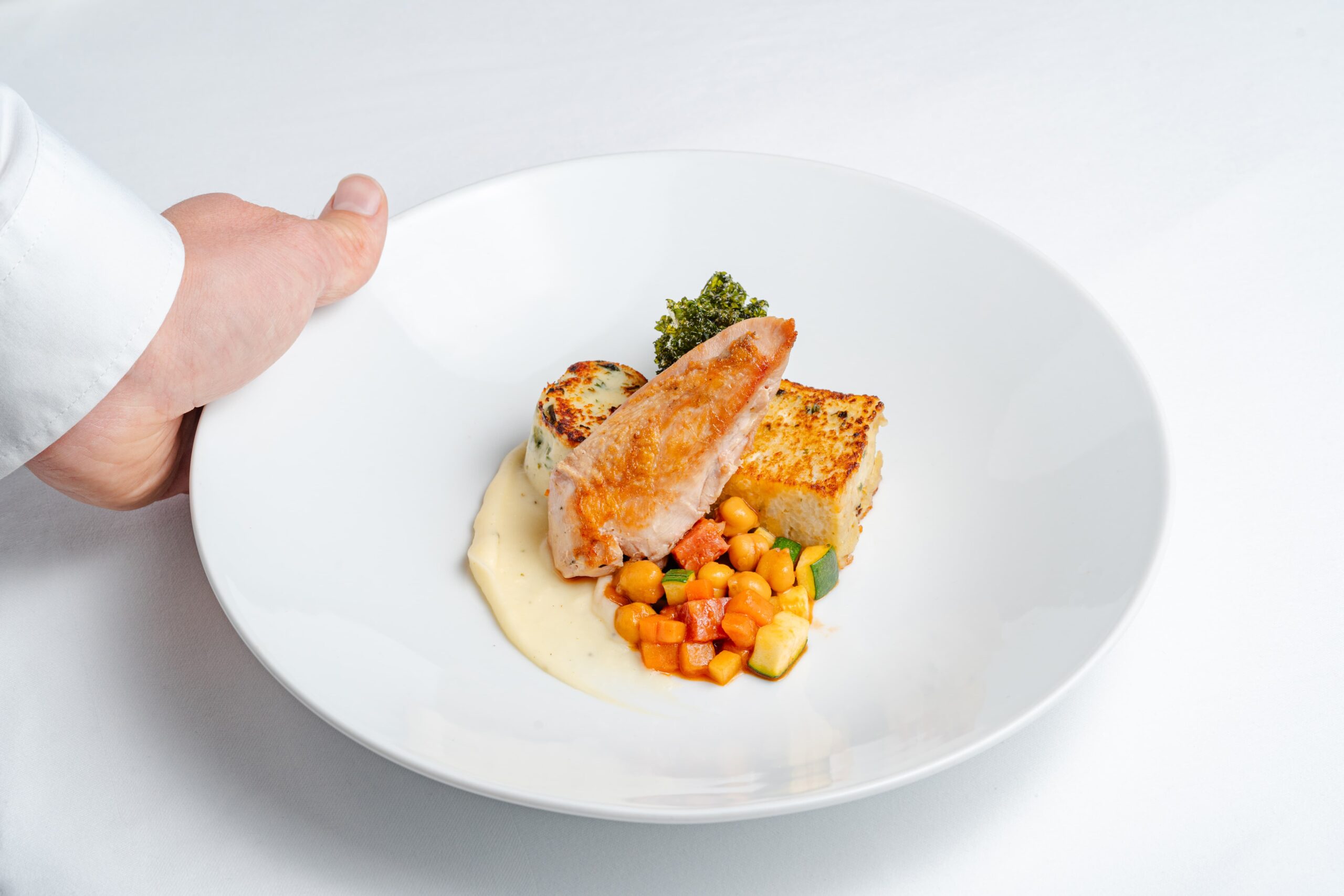
At the heart of Ilsington Country House Hotel lies our award-winning restaurant, proudly holding two AA Rosettes and boasting breathtaking views across Haytor. Here, dining is a refined yet welcoming experience, where modern English flavours meet the very best of Devon’s larder. Under the guidance of Head Chef Mike O’Donnell, who has been at the helm since 1998, the menu evolves with the seasons, showcasing Dartmoor lamb, beef and pork, alongside the daily catch from Brixham’s boats. West Country cheeses, including Quickes and Sharpham, sit proudly on our cheeseboard, while ingredients foraged from our own grounds add an authentic touch. Every dish celebrates provenance, creativity and the natural beauty that surrounds us.
For something more relaxed, The Blue Tiger offers a warm and informal setting perfect for leisurely lunches, light bites or a traditional Devonshire cream tea. Our homemade scones are a firm favourite, best enjoyed with a generous helping of local jam and clotted cream. As with all our dining, we remain committed to sourcing quality local ingredients, ensuring even the simplest pleasure.
Award-winning dining based around some of the very best local ingredients of the season, and served in the elegant surroundings of the historic Bedford Hotel in the very heart of Tavistock. Lunches are always popular – with everything from a warming bowl of home-made soup to a hearty three course affair – or book a table for dinner in the Woburn Restaurant for an evening of delicious dining in very convivial surroundings. As the birthplace of the Devon Cream Tea, you can enjoy this classic teatime treat all day, every day – and for a little extra afternoon indulgence, the Duchess of Bedford Afternoon Tea is something very special indeed.
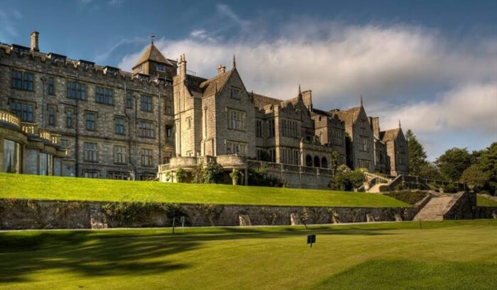
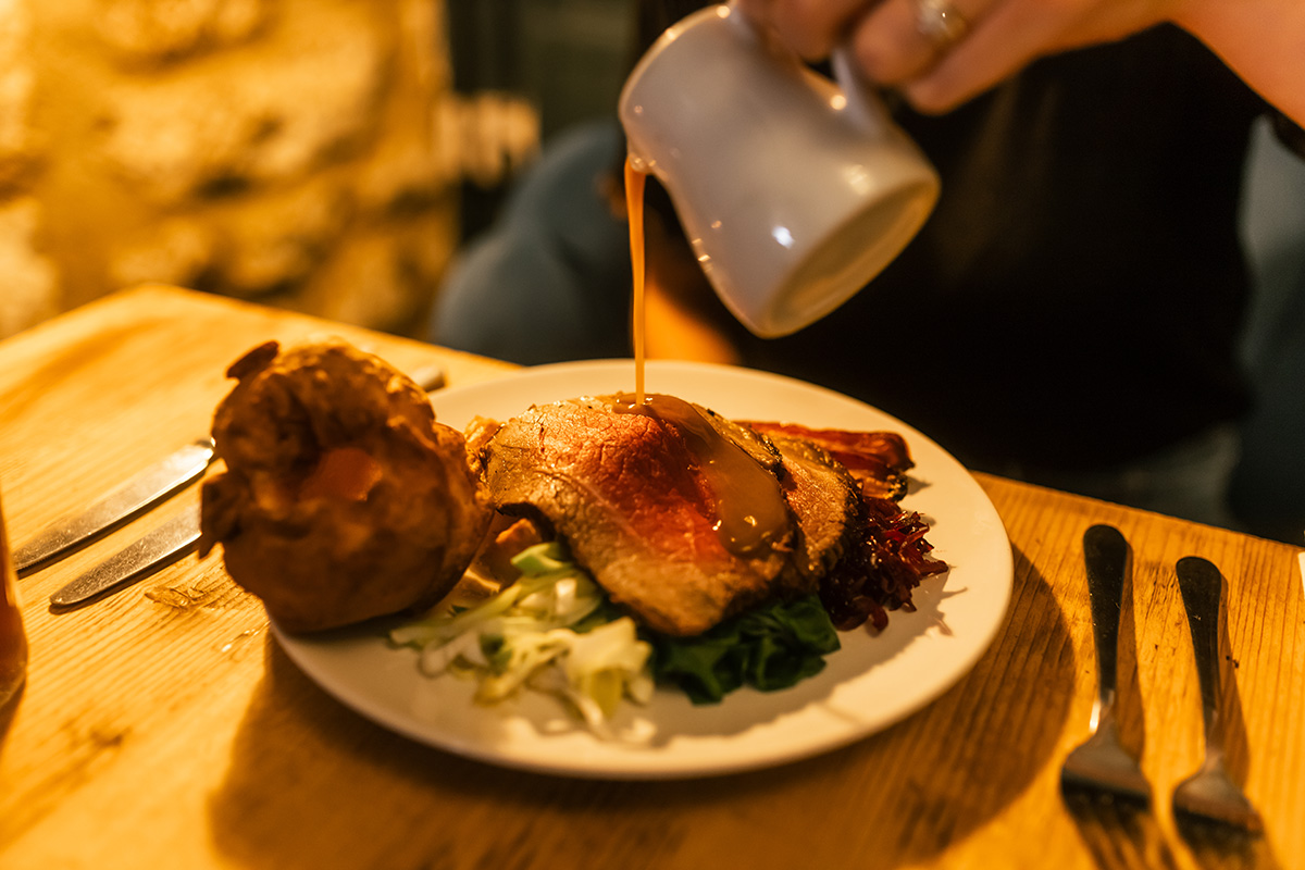
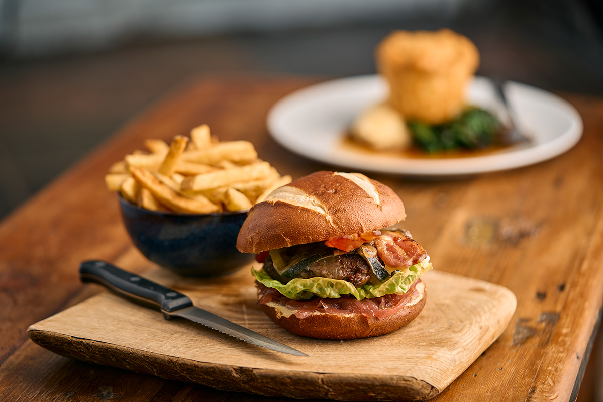
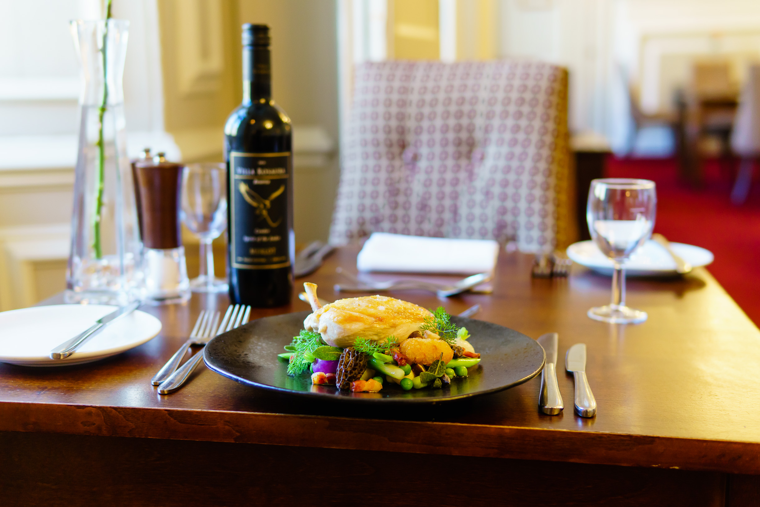
Exceptional dining in the very heart of Dartmoor National Park, based around some of the best ingredients of the season from local farmers, fishermen and producers. Enjoy a relaxed lunch, served in the hotel’s characterful bar or restaurant, or take in the scenery with an alfresco lunch on a warmer day. In the evening, the Tors Restaurant is the place to be, with award-winning, seasonally-themed menus served in unique and elegant surroundings. For a weekend treat, Sunday Lunch at Two Bridges is always special – or if you are out for a day on Dartmoor, stop by for the famous Two Bridges Cream Tea.
Start your day with a proper coffee, served from 10am – locally roasted, expertly prepared by our trained baristas, and offered with your choice of milk, including dairy-free alternatives. Pair it with a Full English featuring sausage, bacon and hog’s pudding from a local butcher, or try our vegetarian cooked breakfast. Prefer something lighter? Go for smashed avocado with poached egg on toast.
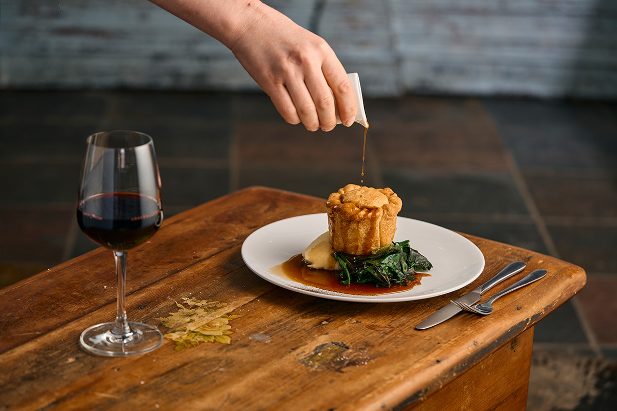
At lunch, choose from a tempting selection to suit every appetite. Thick-cut sandwiches, sirloin steak, homemade pies, vegan burgers and indulgent desserts.
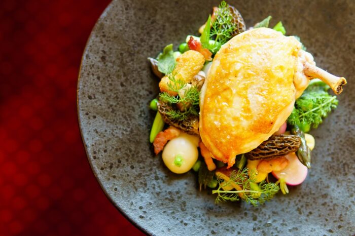
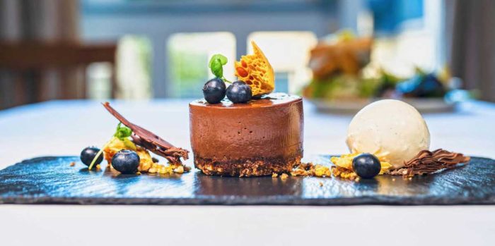
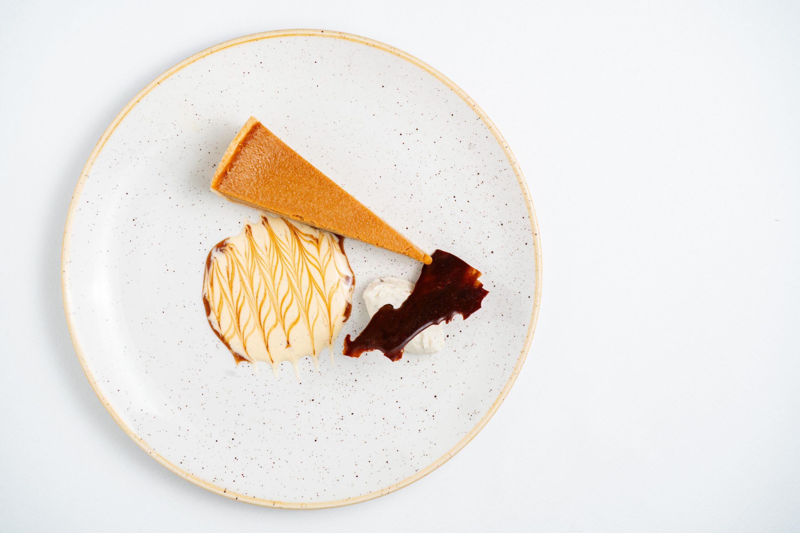
Dinner is a relaxed affair in our refurbished dining room with original Georgian features and thick Dartmoor stone walls. Begin with goat’s cheese brûlée, then enjoy seared venison loin with celeriac purée and blackberry reduction, or a classic steak and ale pie. Finish with peach tarte tatin or a dark chocolate délice.