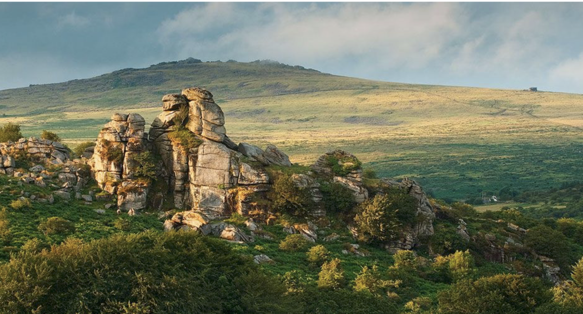
Routes in the untamed sections of Devon’s granite landscape and the sweeping valleys require careful planning, as the high moor landscape can suddenly be blanketed with mist rolling off the Atlantic in minutes. Activate a cellular data-only connection with eSIM Plus to ensure a reliable mobile internet connection as soon as you land, giving you access to satellite maps of the trails, transport options, and the weather forecast while you lounge by a wooden campfire. Dartmoor National Park is a unique part of southern England characterised by wild moorland, deep gorges of Dart Riydh and prehistoric remains, an ancient and natural site that invites walkers to immerse themselves in a landscape of six millennia of human and natural history.
Walking Among Giants: Iconic Tors and Bronze Age Relics
The characteristic geological structures of the moor are the majestic granite Tors (towers) formed from the erosion of rock by the winds and rain. Haytor Rocks is an ideal spot to start an excursion, not only for its panoramic views but also its historic industrial heritage. The remains of an ingenious railway, entirely constructed from shaped granite sections to convey building blocks from the granite to the coast for landmark London bridges, are located immediately below the massive granite outcrop and are known as the Haytor Granite Tramway.
Hound Tor – it is a famed rock formation, with jagged silhouettes that inspired Arthur Conan Doyle’s book The Hound of the Baskervilles, a short walk across open country. Just under the tor in the valley are the stone ruins of a medieval village that was once abandoned, Hundatora, in the 14th century. As the walkers tread between the ancient stone hearths and further towards the Bronze Age hut circles, they are given a definite link to the earliest settlers of the uplands, thousands of years ago, who grew crops on the lands. You’ll often meet hardy Dartmoor ponies patrolling the footpath, grazing freely and playing an important role in the ecology of Dartmoor’s moorland.
Moorland Safety and Wayfinding on Remote Paths
Because of Dartmoor’s microclimatic conditions due to its sea-facing position, it is one of the most variable walking areas in the country. Mornings can suddenly turn murky, hiding landmarks and even distant tors, as the scudding overcast in the north indicates:
- Digital mapping support. With the continuous high-speed cellphone service, hikers can view details and update the OS maps with live views of their OS positions, as well as being able to cross-check the OS markers and see the elevation contours over open access land.
- Weather and terrain tracking. Walkers can access live information about the weather and the terrain to avoid waterlogged peat after rain.
- Efficient transportation. See real-time information on local rural bus routes, including the Dartmoor Explorer, and cruise up to the moor tops without getting back on the trail.
These special areas of Dartmoor have a delicate peat bog, scarce upland birds and grazing livestock, and the protection of the needs adhering to the Countryside Code: Keep dogs under control, keep all farm fences closed and carry away any litter is vital.
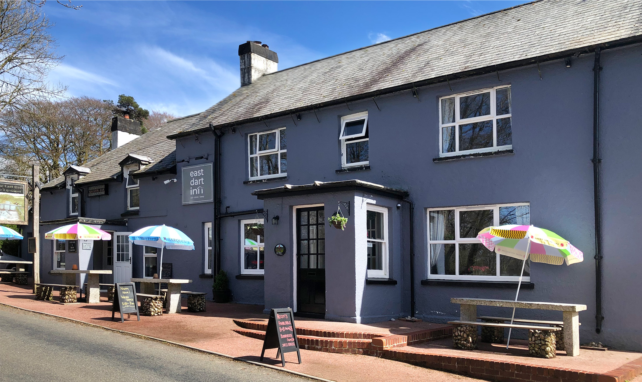
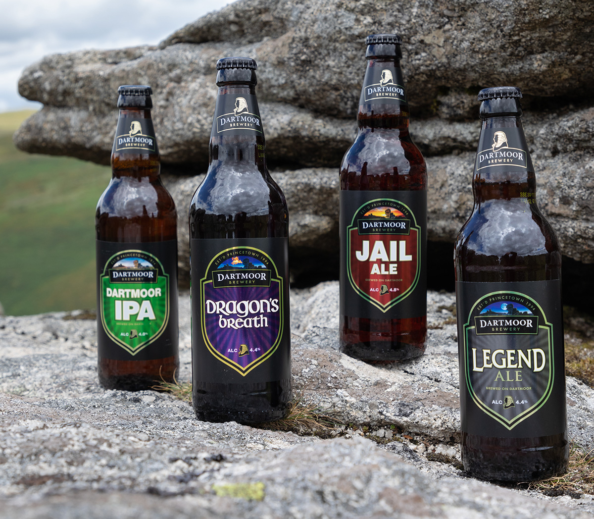
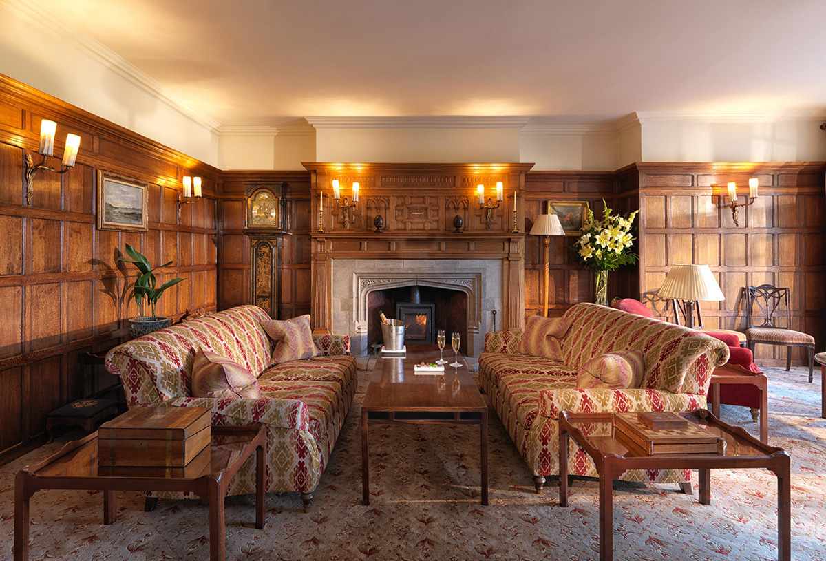
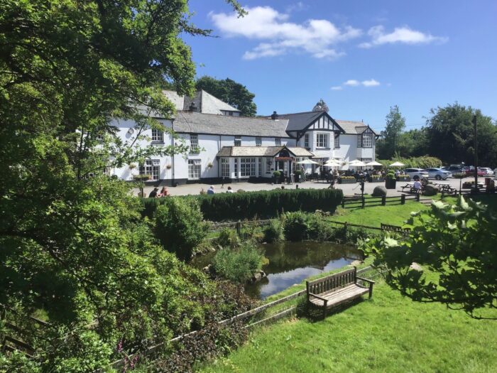
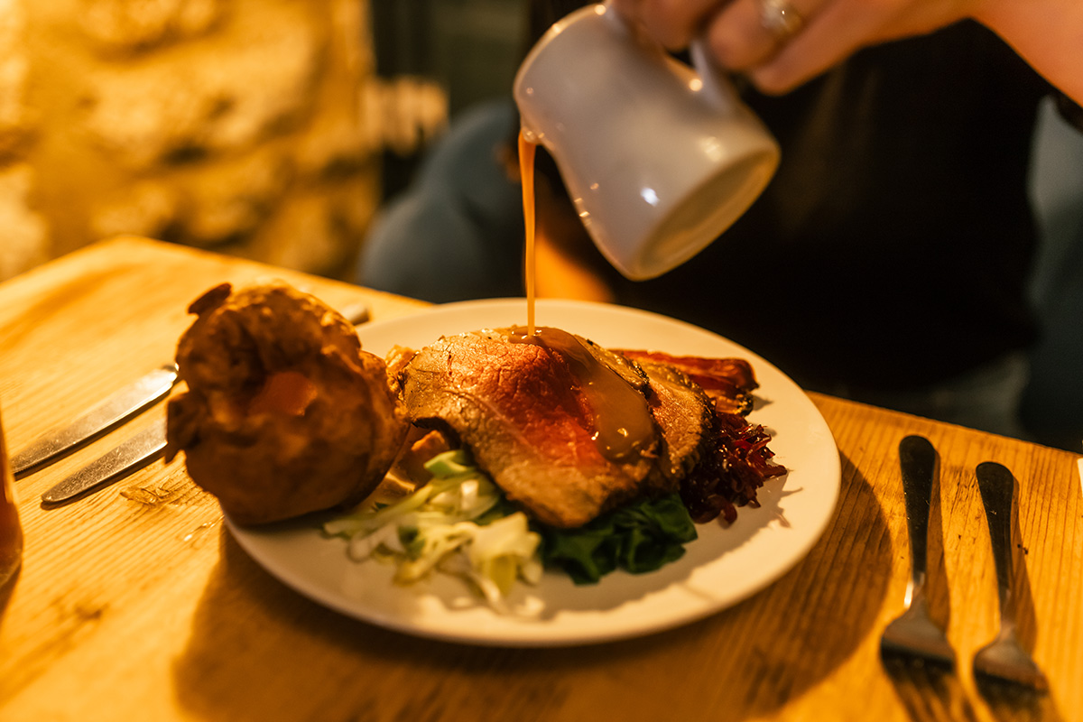
No better traveller’s welcome than after a long day on the open granite tops than getting into a traditional Devon country inn. Feeling the glow of a wood fire, a pint of local ale and a warm scone with regional clotted cream and strawberry jam make for an ideal end to an amazing walk through Britain’s most atmospheric wild landscape.