
Dartmoor A4 Prints
£22.95


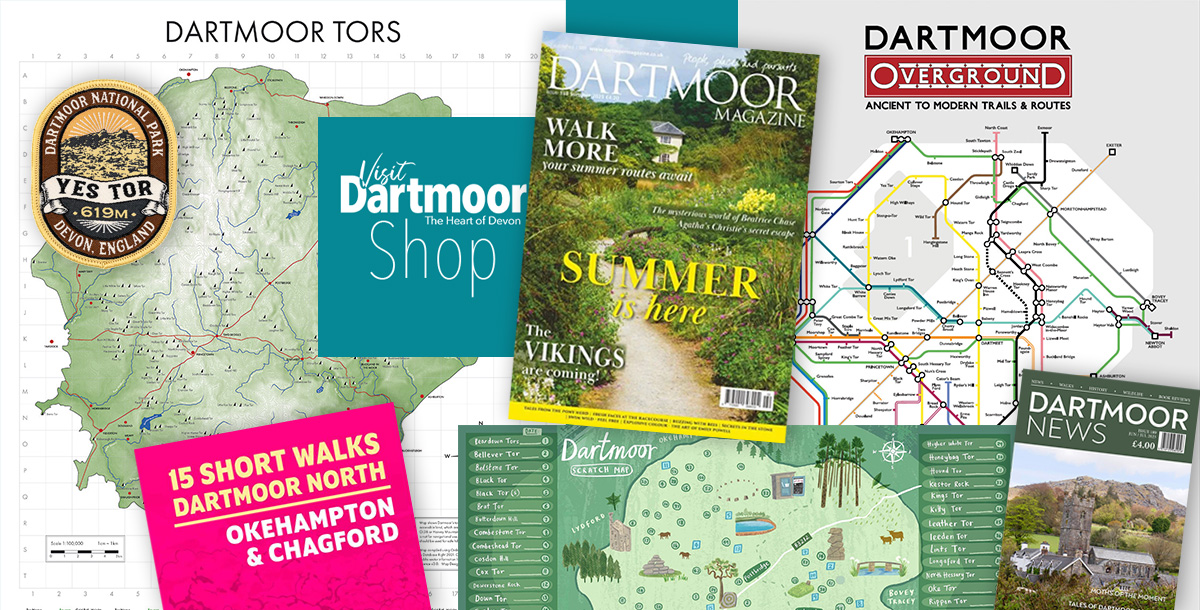
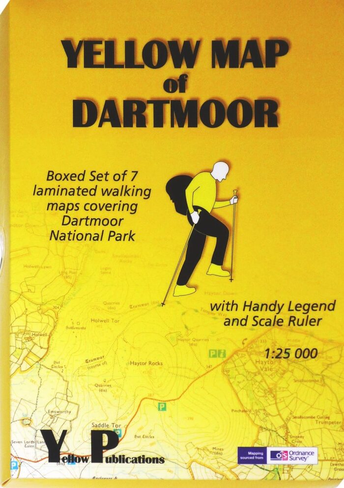
Dartmoor Tors Map
£25.00


Walking The Dartmoor Way
£16.95

Walking on Dartmoor
£14.95


£22.95
£25.00
£16.95
£14.95


